Kayaking on Akmena
Specifications
- Length
This shows the official river length. Our calculated river length often differs from the official one. We calculate river length based on the drawn river curve on the map. Discrepancies exist due to different river start locations or different river curves through lakes and dams.
- 80 km
- Difficulty
- 4/5
- Basin size
- 595 km2
- Discharge
- 4.5 m3/s
- Slope
- 186 cm/km
On the platform
- Routes
- 0
- Rentals
- 0
- Landmarks
- 5
- Gauging stations
- 1
About kayaking on Akmena:
Tai kairysis Jūros intakas. Nuotėkio metiniai svyravimai dideli.
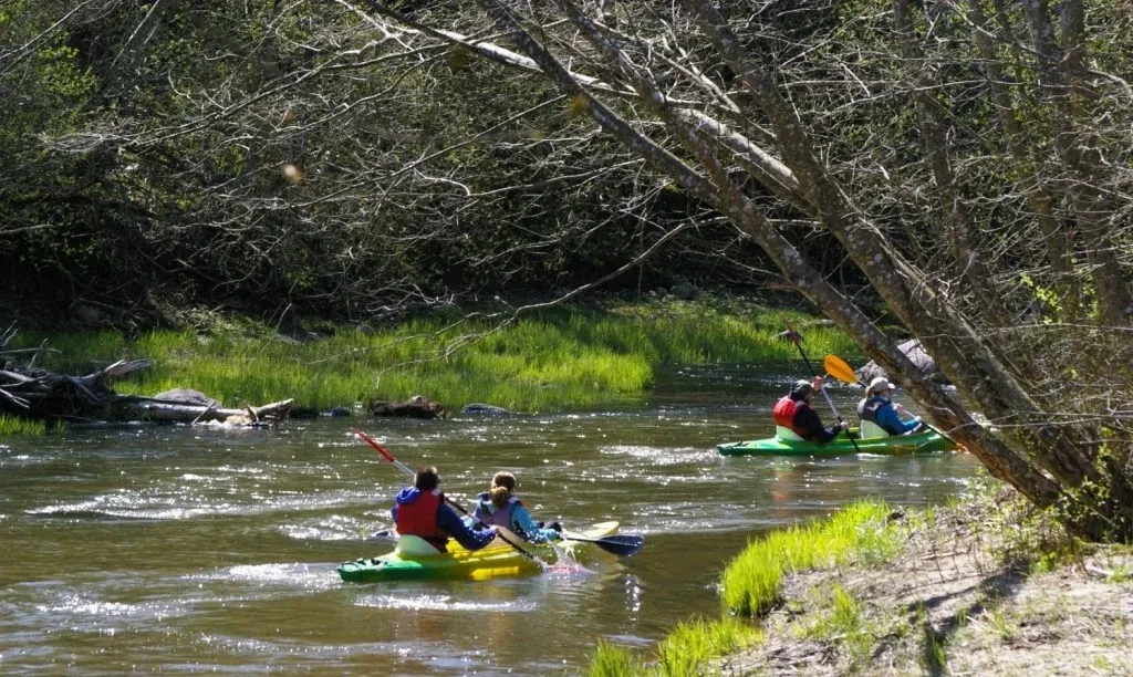
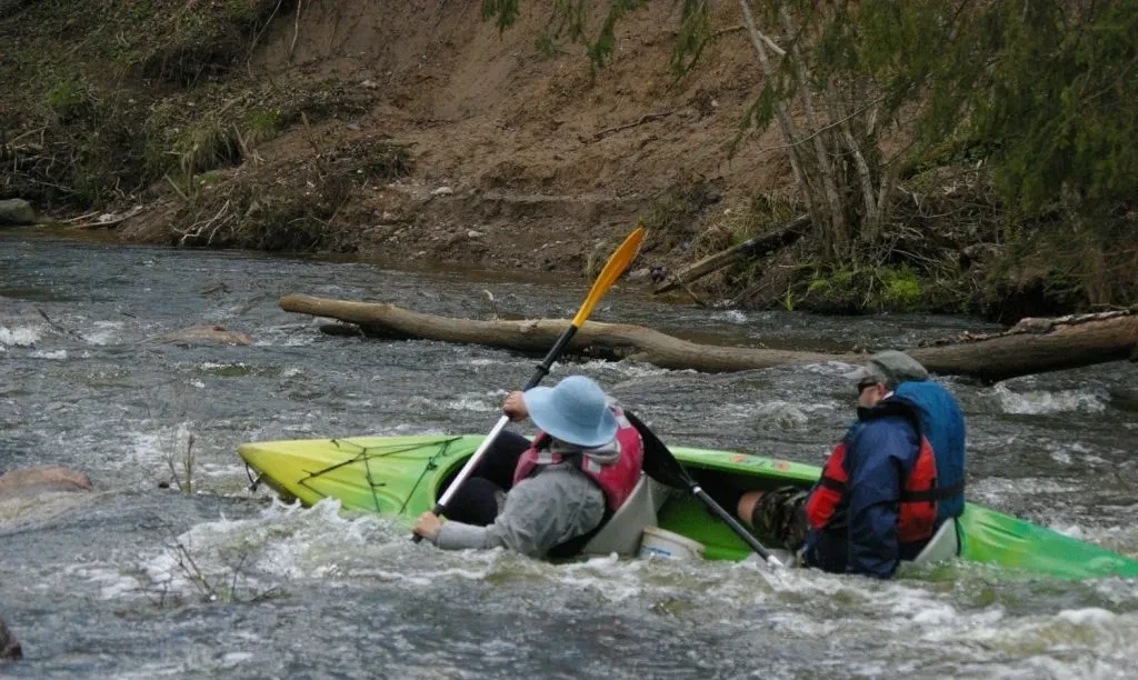
Keliauti galima tik pakilus vandens lygiui. Upės nuolydis gan didelis. Akmena — vandenininkų mėgstama upė. Ankščiau čia dažnai vykdavo varžybos, treniruotės prieš sudėtingas keliones. Dabar tai viena populiariausių pavasario vandens turizmo upių.
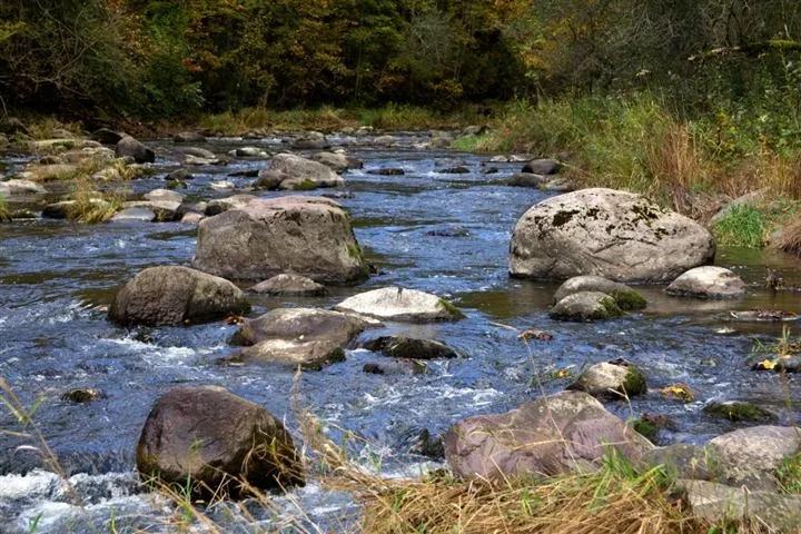
Upės vagoje daug akmenuotų rėvų, slenksčių. Slėnis siauras. Kelionę galite pradėti nuo dešiniojo Yžnės intako žiočių (50 km). Aukščiau (nuo Žemaičių plento tilto) upės vagos pakraščiai smarkiai apaugę krūmais, trukdančiais plaukti.
Map:
River profile
The computed slope uses EU-DEM digital elevation model data (25 m resolution). Because the model measures average surface height in each 25×25 m cell, it cannot precisely capture the depth of narrow river valleys — elevation differences and slope are therefore often smaller than in reality.
Water level
Water level history (30 days)
Source: LHMT · Water level is measured from the station's zero mark — negative values are normal. · VMS = Water management system