Kayaking on Baltąja Ančia
Specifications
- Length
This shows the official river length. Our calculated river length often differs from the official one. We calculate river length based on the drawn river curve on the map. Discrepancies exist due to different river start locations or different river curves through lakes and dams.
- 29.2 km
- Difficulty
- 1/5
- Basin size
- 791 km2
- Discharge
- 5 m3/s
- Slope
- 94 cm/km
On the platform
- Routes
- 0
- Rentals
- 0
- Landmarks
- 11
- Gauging stations
- 0
About kayaking on Baltąja Ančia:
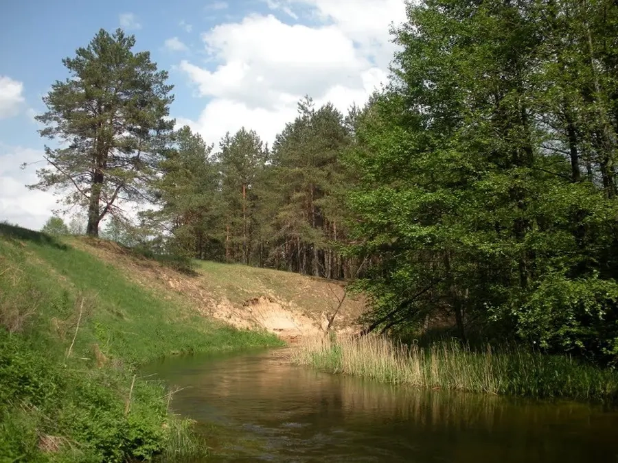
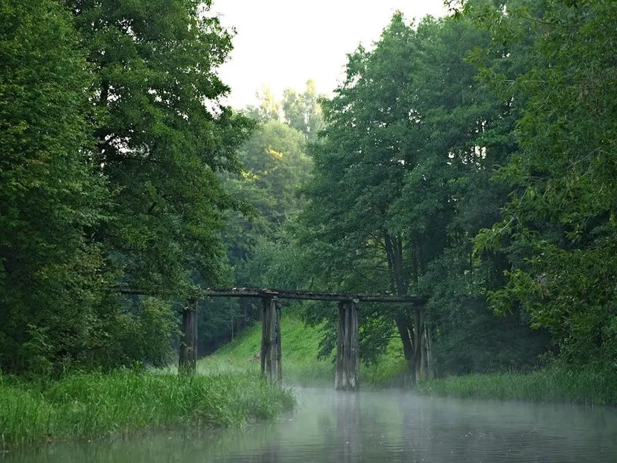
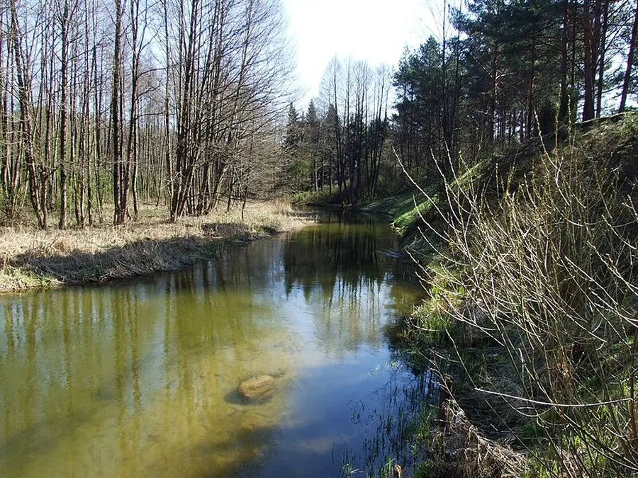
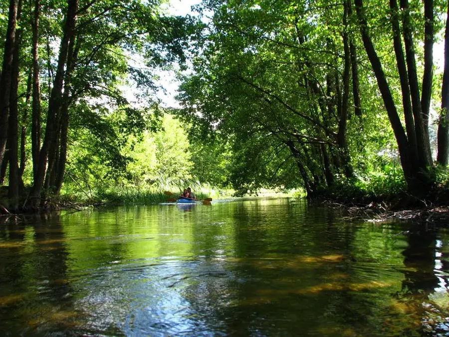
Jos baseine yra grupė ežerų, žinomų Veisiejų ežeryno vardu. Vieni sujungti pertakais, kitus skiria siauri sausumos ruožai. Čia galima pasirinkti įvairiausių maršrutų variantų išplaukti Baltosios Ančios upe į Nemuną.
Kelionę galima pradėti nuo Veisiejų miestelio, išsidėsčiusio prie Ančios ežero. Pakeliui į Nemuną kelią pastoja Kapčiamiesčio HE ir Baltosios Ančios HE užtvankos. Kai elektrinės dirba, Baltąja Ančia patogu plaukti lengvais laiveliais. Tačiau sausmečiais, kai jos veikia, upėje žemiau Baltosios Ančios HE būna per mažai vandens, kad galima būtų plaukti. Todėl kelionę geriau planuoti lietingu periodu.
Map:
River profile
The computed slope uses EU-DEM digital elevation model data (25 m resolution). Because the model measures average surface height in each 25×25 m cell, it cannot precisely capture the depth of narrow river valleys — elevation differences and slope are therefore often smaller than in reality.