Kayaking on Dubinga
Specifications
- Length
This shows the official river length. Our calculated river length often differs from the official one. We calculate river length based on the drawn river curve on the map. Discrepancies exist due to different river start locations or different river curves through lakes and dams.
- 17.8 km
- Difficulty
- 1/5
- Basin size
- 422 km2
- Discharge
- 4 m3/s
- Slope
- 128 cm/km
On the platform
- Routes
- 0
- Rentals
- 0
- Landmarks
- 5
- Gauging stations
- 0
Flows through Švenčionių District Municipality
Counties Vilniaus County
About kayaking on Dubinga:
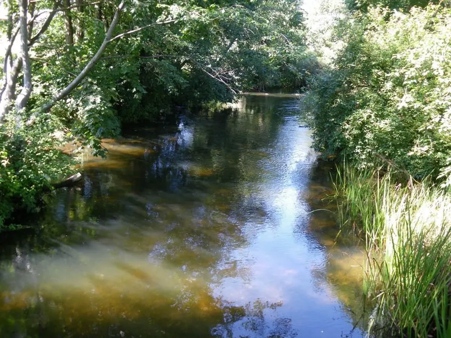
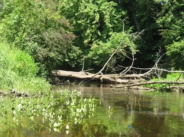
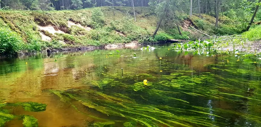
Tai Žeimenos intakas, ištekantis iš didelio Dubingių ežero. Nuotėkis visus metus pastovus. Kliūčių upėje nedaug: sraunumos, viena užtvanka. Plaukti vandens visada pakanka.
Map:
River profile
Official slope: 128.0 cm/km
Computed slope: 110.4 cm/km
The computed slope uses EU-DEM digital elevation model data (25 m resolution). Because the model measures average surface height in each 25×25 m cell, it cannot precisely capture the depth of narrow river valleys — elevation differences and slope are therefore often smaller than in reality.
BridgePicnic site
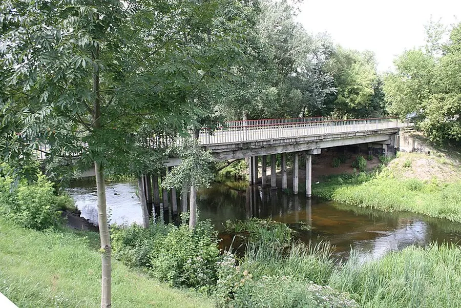
14.6 km Bridge Dubingės g. Show on map
4.1 km L Picnic site Poilsiavietė šalia Dubingos Show on map
1.9 km L Picnic site Pabradės tvenkinio poilsiavietė Show on map
1.8 km R Picnic site Dubinga Show on map
0.0 km Bridge Bajorėlių g. Show on map