Kayaking on Dubysa
Specifications
- Length
This shows the official river length. Our calculated river length often differs from the official one. We calculate river length based on the drawn river curve on the map. Discrepancies exist due to different river start locations or different river curves through lakes and dams.
- 146 km
- Difficulty
- 3/5
- Basin size
- 2069 km2
- Discharge
- 13.4 m3/s
- Slope
- 70 cm/km
On the platform
- Routes
- 1
- Rentals
- 1
- Landmarks
- 20
- Gauging stations
- 2
About kayaking on Dubysa:
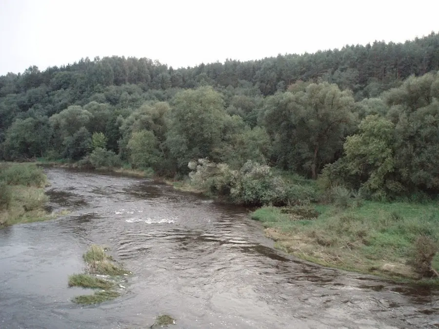
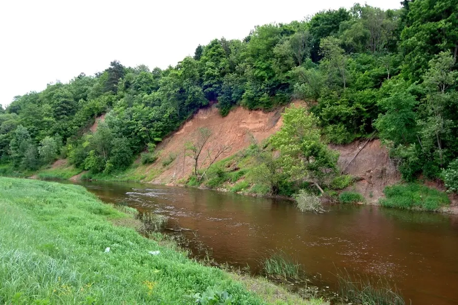
Dubysos ištakos netoli Šiaulių, šiauriau Rėkyvos ežero. Aukštupyje upė vingiuoja salpinėmis pievomis, nuo vidurupio slėnis labai pagilėja ir toks yra iki pat Nemuno.
Dubysą maitina daugiausia lietaus ir tirpsmo vandenys, todėl per metus jos nuotėkis smarkiai kinta. Nors upė priklauso prie didesnių Nemuno intakų, tačiau sausringą vasarą smarkiai nusenka ir kelionei, kad ir lengvais laiveliais, nelabai tinka. Plaukti šiuo maršrutu patartina tik lietingu periodu.
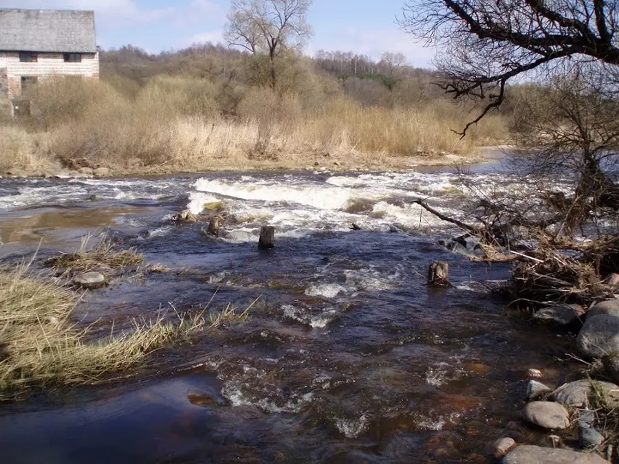
Pagrindinės upės kliūtys — išgriautų užtvankų slenksčiai, akmenuotos sraunumos, seklios brastos. Kadangi bendras Dubysos nuolydis nedidelis, yra nemažai ruožų su silpna srove.
Aukštupyje patogu keliauti nuo Šiaulių–Kelmės plento tilto ties Dzidais. Bet patikimiau pradėti kelionę žemiau dešiniojo intako Kražantės žiočių, nes Kražantė padidina Dubysos nuotėkį beveik dvigubai.
Map:
River profile
The computed slope uses EU-DEM digital elevation model data (25 m resolution). Because the model measures average surface height in each 25×25 m cell, it cannot precisely capture the depth of narrow river valleys — elevation differences and slope are therefore often smaller than in reality.
Water level
Water level history (30 days)
Source: LHMT · Water level is measured from the station's zero mark — negative values are normal. · VMS = Water management system