Kayaking on Lakaja
Specifications
- Length
This shows the official river length. Our calculated river length often differs from the official one. We calculate river length based on the drawn river curve on the map. Discrepancies exist due to different river start locations or different river curves through lakes and dams.
- 44 km
- Difficulty
- 1/5
- Basin size
- 433 km2
- Discharge
- 2.2 m3/s
- Slope
- 39 cm/km
On the platform
- Routes
- 0
- Rentals
- 0
- Landmarks
- 5
- Gauging stations
- 0
About kayaking on Lakaja:
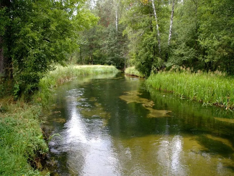
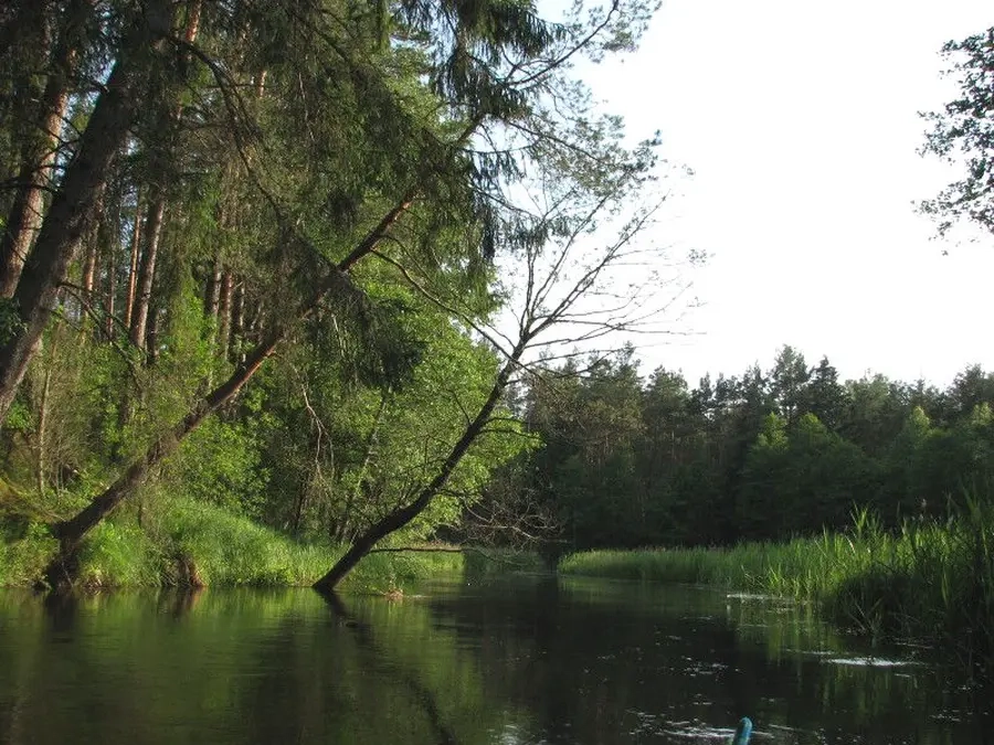
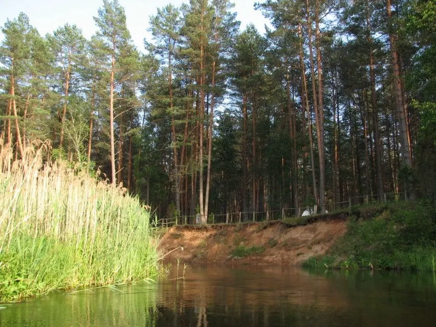
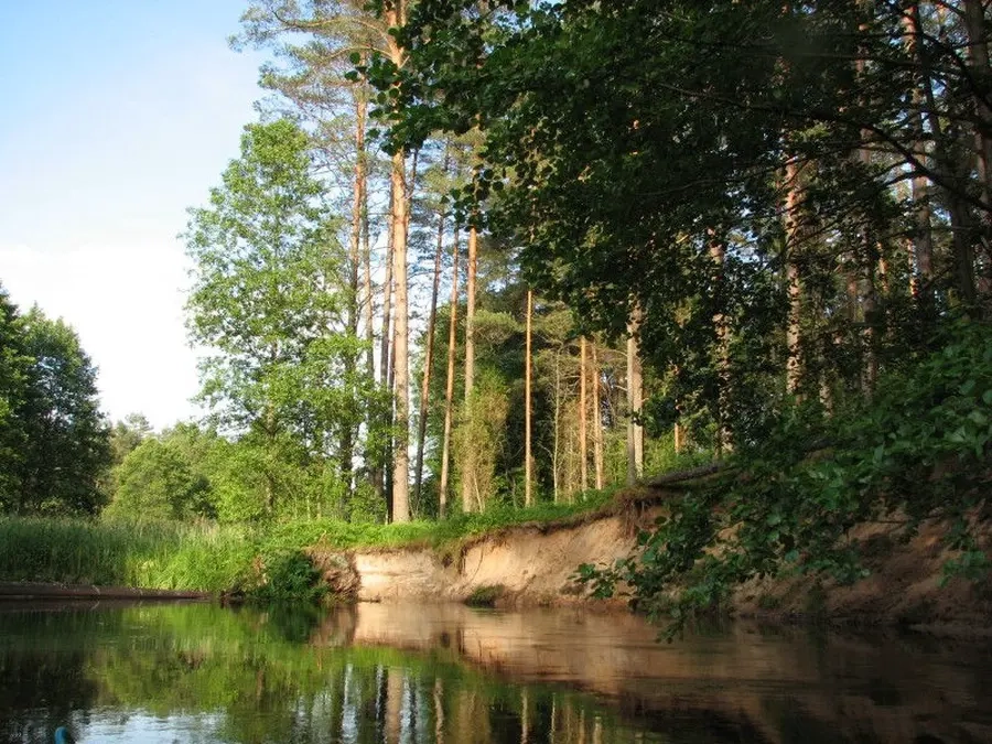
Lakaja – miškais tekantis, vandeningiausias Žeimenos intakas. Ištekantis iš Juodųjų Lakajų ežero, į Žeimeną įteka ties Santaka. Kadangi upė maitinama ežerų, vandens lygis joje mažai svyruoja. Lakaja teka Labanoro regioniniame parke, prateka Aldikio ir Lakajos ežerus. Likus 6 kilometrams iki žiočių į Lakają iš kairės įteka Peršokšna.
Lakaja yra pamėgta vandens turistų dėl vaizdingų krantų ir nesudėtingo maršruto. Upės tėkmė rami, rėvų nėra, vietomis gali pasitaikyti užvartų ar žemų tiltelių. Gali būti dalis ilgesnio maršruto, prasidedančio Stirnių ežere.
Map:
River profile
The computed slope uses EU-DEM digital elevation model data (25 m resolution). Because the model measures average surface height in each 25×25 m cell, it cannot precisely capture the depth of narrow river valleys — elevation differences and slope are therefore often smaller than in reality.