Kayaking on Minija
Specifications
- Length
This shows the official river length. Our calculated river length often differs from the official one. We calculate river length based on the drawn river curve on the map. Discrepancies exist due to different river start locations or different river curves through lakes and dams.
- 213 km
- Difficulty
- 3/5
- Basin size
- 2978 km2
- Discharge
- 38.7 m3/s
- Slope
- 86 cm/km
On the platform
- Routes
- 0
- Rentals
- 0
- Landmarks
- 19
- Gauging stations
- 3
About kayaking on Minija:
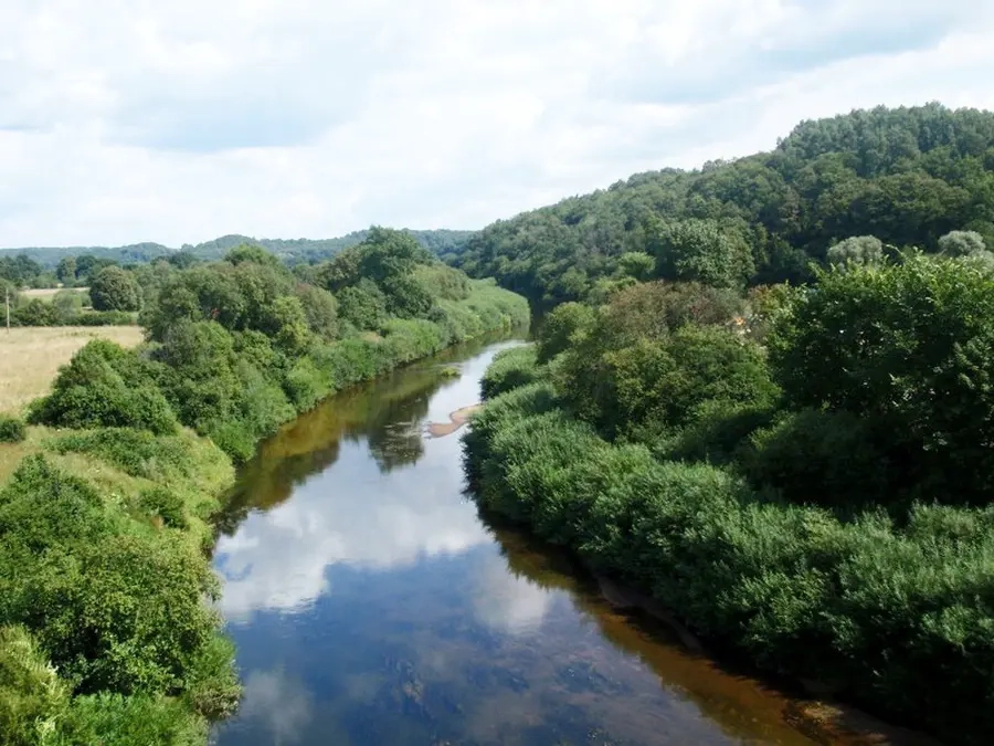
Ši upė vandens turistams yra bene geriausiai pažįstama. Minija jau senai žinoma, kaip įdomi ir įvairi savo sąvybėmis upė užsiimti vandens turizmu. Jos populiarumas dar vis neblėsta.
Tai didžiausia Vakarų Žemaitijos upė, paskutinis Nemuno intakas. Minijos baseine ežerų mažai, nuolydis gan didelis, o podirvis visai nelaidus vandeniui. Todėl jos režimas labai nepastovus — upė dažnai smarkiai nusenka, o po didesnių liūčių jos nuotėkis trumpai gali padidėti net 40 kartų.
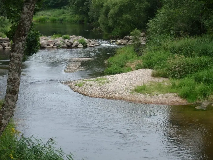
Aukštupyje kelionę pradėti patogiausia nuo Plungės–Žarėnų kelio tilto ties Keturakiais (180 km). Įdomiausias 81 km ilgio Minijos ruožas tęsiasi iki dešiniojo intako Salanto. Šioje atkarpoje (vid. 1,25 m/km) yra daug kliūčių — išgriautų jėgainių užtvankų, slenksčių, akmenuotų rėvų, didelių akmenų, užvartų, užkamšų, staigių posūkių. Upės slėnis siauras, pakrantėse nemažai miškų.
Įdomiausia vieta — Dyburių kilpa, kur upė teka panašiu į kanjoną slėniu, o vagoje daug akmenuotų rėvų, slenksčių. Čia, 4 km ruože, upė krinta 9 m.
Aišku, šis maršrutas tinka tik paprastesnių kelionių patyrimą turintiems vandens turistams.
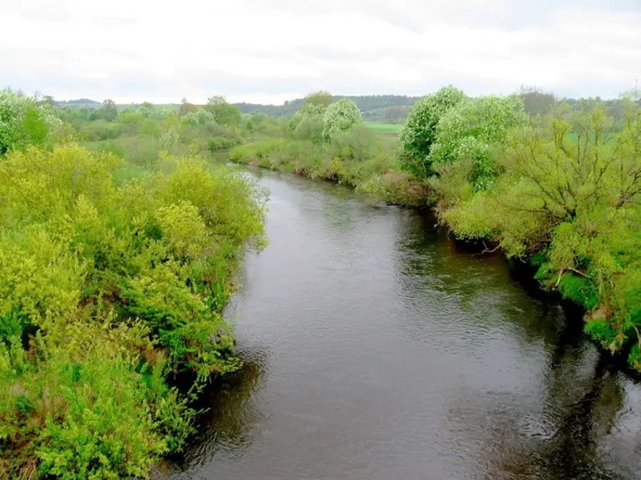
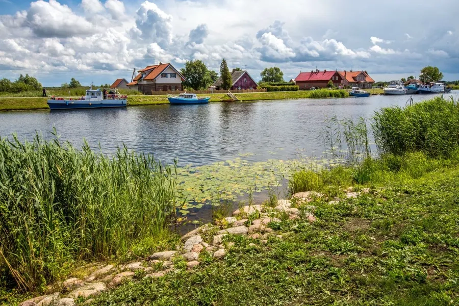
Žemiau Salanto žiočių upė baigia leistis nuo Žemaitijos aukštumos. Srovė sulėtėja, kliūtys išnyksta, slėnis platėja. Kelionė gana monotoniška. Žemiau Veiviržo intako (21 km) Minijos slėnis išnyksta, krantai labai žemi, upė įteka į Nemuno deltos lygumą. Minijos žemupio atkarpa žemiau Kintų–Rūgalių–Šilutės kelio tilto priklauso Nemuno deltos botaniniam zoologiniam draustiniui, kuriame lankytis galima labai ribotai.
Map:
River profile
The computed slope uses EU-DEM digital elevation model data (25 m resolution). Because the model measures average surface height in each 25×25 m cell, it cannot precisely capture the depth of narrow river valleys — elevation differences and slope are therefore often smaller than in reality.
Water level
Water level history (30 days)
Source: LHMT · Water level is measured from the station's zero mark — negative values are normal. · VMS = Water management system