Kayaking on Mūša
Specifications
- Length
This shows the official river length. Our calculated river length often differs from the official one. We calculate river length based on the drawn river curve on the map. Discrepancies exist due to different river start locations or different river curves through lakes and dams.
- 164 km
- Difficulty
- 1/5
- Basin size
- 5318 km2
- Discharge
- 3.6 m3/s
- Slope
- 48 cm/km
On the platform
- Routes
- 0
- Rentals
- 0
- Landmarks
- 5
- Gauging stations
- 2
About kayaking on Mūša:
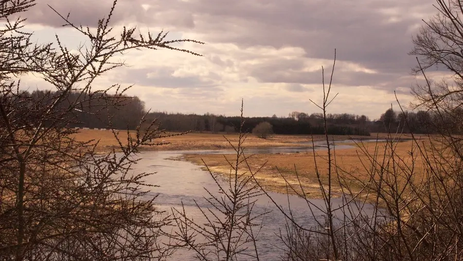
Mūša priklauso Dauguvos upės baseinui.
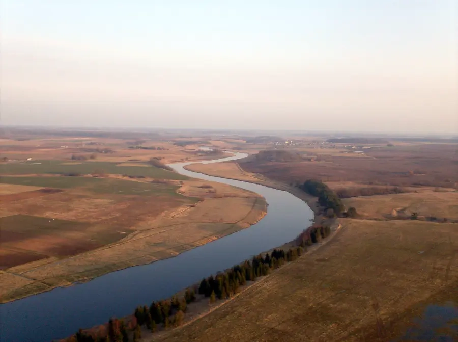
Ji išteka iš pelkių Joniškio rajone ir, išrietusi ilgą lanką (tekėjimo kryptį pakeičia nuo pietryčių į šiaurės vakarus), Latvijoje, ties Bauske, susilieja su Nemunėliu (latviai vadina Memele), toliau virsta Lielupe.
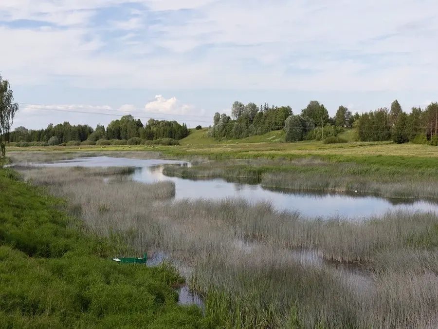
Upės nuolydis nėra didelis. Ji neturi didesnių maitinamųjų šaltinių, teka daugiausia nelaidžiu gruntu. Vasarą Mūša smarkiai nusenka, vaga apželia žolėmis. Per pavasario polaidį arba vasarą po didesnių liūčių upė greit ištvinsta. Slėnis lėkštas. Prie Mūšos miškų mažai.
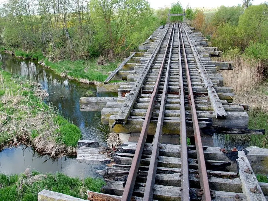
Pagrindinės kliūtys — buvusių jėgainių išgriautos užtvankos, pavienės sraunumos, seklios brastos. Kelionę galima pradėti nuo Petrašiūnų (214 km), kur upę kerta Pakruojo–Linkuvos plento tiltas.
Map:
River profile
The computed slope uses EU-DEM digital elevation model data (25 m resolution). Because the model measures average surface height in each 25×25 m cell, it cannot precisely capture the depth of narrow river valleys — elevation differences and slope are therefore often smaller than in reality.
Water level
Water level history (30 days)
Source: LHMT · Water level is measured from the station's zero mark — negative values are normal. · VMS = Water management system