Kayaking on Muse
Specifications
- Length
This shows the official river length. Our calculated river length often differs from the official one. We calculate river length based on the drawn river curve on the map. Discrepancies exist due to different river start locations or different river curves through lakes and dams.
- 72 km
- Difficulty
- 3/5
- Basin size
- 340 km2
- Discharge
- 2.8 m3/s
- Slope
- 166 cm/km
On the platform
- Routes
- 0
- Rentals
- 0
- Landmarks
- 6
- Gauging stations
- 0
About kayaking on Muse:
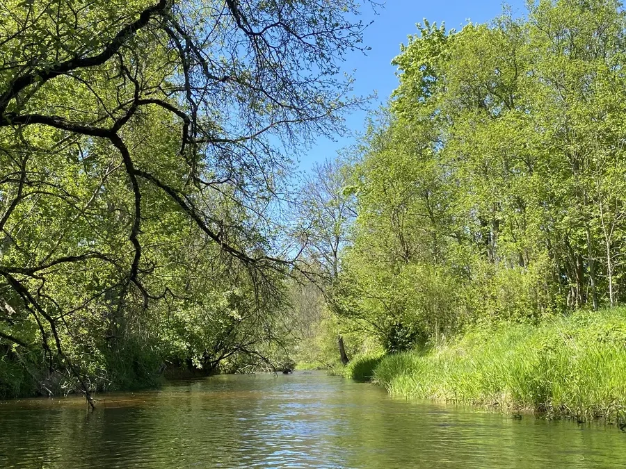
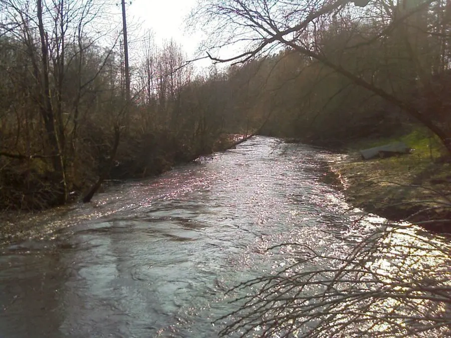
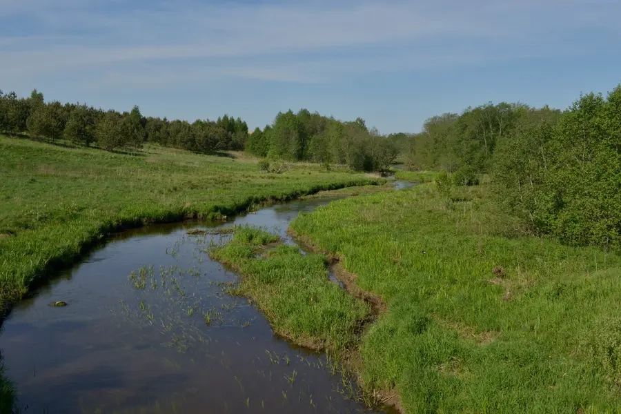
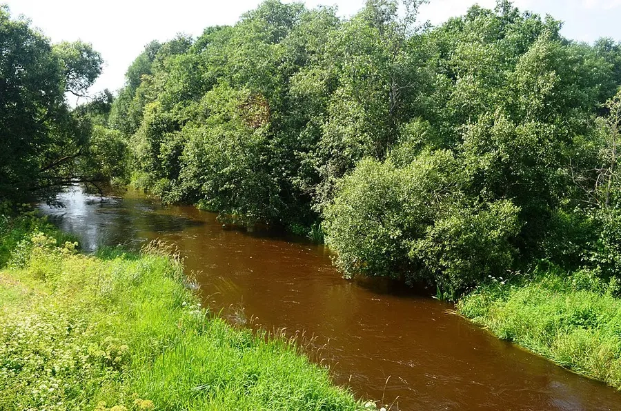
Tai Neries intakas. Keliauti galima tik pakilus vandens lygiui. Musės hidrologiniai duomenys parodo, kad plaukti baidarėmis yra sudėtinga. Upės kliūtys: krūmų šakos, vietomis užgriozdžiusios upę nuo vieno kranto iki kito (tam tikruose ruožuose), išgriautų užtvankų liekanos, rėvos. Vasarą upė smarkiai nusenka. Kelionę galite pradėti nuo Vilniaus–Ukmergės plento tilto.
Map:
River profile
The computed slope uses EU-DEM digital elevation model data (25 m resolution). Because the model measures average surface height in each 25×25 m cell, it cannot precisely capture the depth of narrow river valleys — elevation differences and slope are therefore often smaller than in reality.