Kayaking on Nemunėliu
Specifications
- Length
This shows the official river length. Our calculated river length often differs from the official one. We calculate river length based on the drawn river curve on the map. Discrepancies exist due to different river start locations or different river curves through lakes and dams.
- 191 km
- Difficulty
- 1/5
- Basin size
- 4048 km2
- Discharge
- 2.6 m3/s
- Slope
- 70 cm/km
On the platform
- Routes
- 0
- Rentals
- 0
- Landmarks
- 7
- Gauging stations
- 2
About kayaking on Nemunėliu:
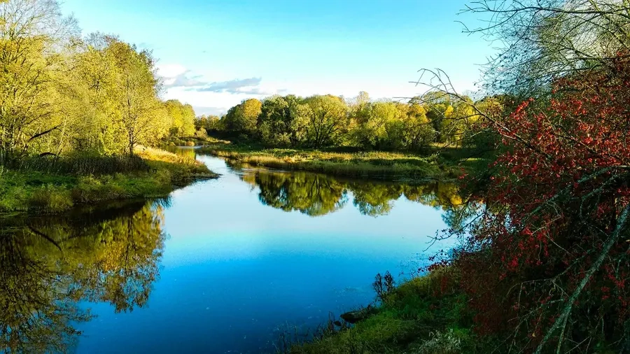
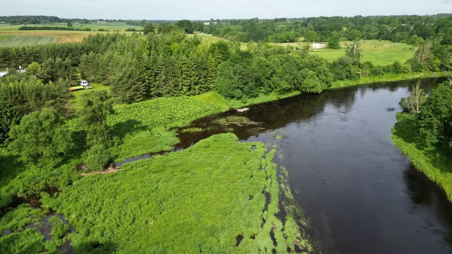
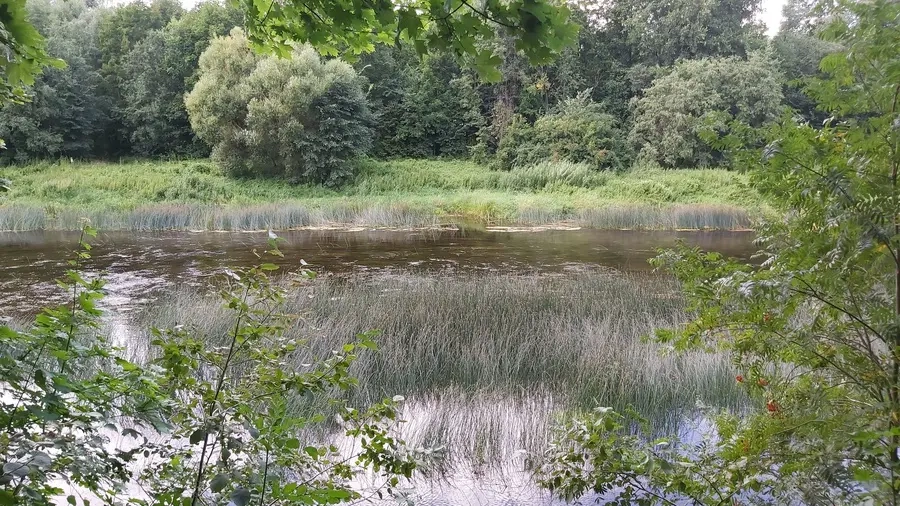
Tai didžiausias Mūšos intakas Lietuvos šiaurėje. Nemaža jo atkarpa teka Lietuvos–Latvijos siena per patį šiauriausią Lietuvos tašką — Aspariškius. Upės nuolydis nedidelis, ramią tėkmę paįvairina nedidelės sraunumos, išardytos buvusių vandens malūnų užtvankos. Nuotėkis per metus smarkiai svyruoja. Vasarą upė nusenka, vaga užželia vandens augmenija.
Vasarą keliauti galima nuo Vyžuonos intako žiočių (139 km), pavasarį — nuo Kazliškio arba Panemunio. Žygį baigti patogu Bauskėje (Latvijoje). Atstumas (nuo Kazliškio iki Bauskės) ir kliūčių pobūdis visai tinka lengvam maršrutui. Upės pakrantėse yra nemažai kultūros ir gamtos paminklų.
Map:
River profile
The computed slope uses EU-DEM digital elevation model data (25 m resolution). Because the model measures average surface height in each 25×25 m cell, it cannot precisely capture the depth of narrow river valleys — elevation differences and slope are therefore often smaller than in reality.
Water level
Water level history (30 days)
Source: LHMT · Water level is measured from the station's zero mark — negative values are normal. · VMS = Water management system