Kayaking on Nerimi
Specifications
- Length
This shows the official river length. Our calculated river length often differs from the official one. We calculate river length based on the drawn river curve on the map. Discrepancies exist due to different river start locations or different river curves through lakes and dams.
- 510 km
- Difficulty
- 1/5
- Basin size
- 24933 km2
- Discharge
- 180 m3/s
- Slope
- 32 cm/km
On the platform
- Routes
- 7
- Rentals
- 2
- Landmarks
- 52
- Gauging stations
- 3
About kayaking on Nerimi:
Tai antra pagal dydį Lietuvos upė, didžiausias Nemuno intakas. Neries ištakos yra Baltarusijoje, netoli Begomlio miesto. Baltarusiai Nerį vadina Vilija.
Kelionę Vilija–Nerimi galima pradėti nuo rajono centro Vileikos (403 km), į kurį galima atvažiuoti traukiniu. Ties Vileika upė patvenkta 12 m aukščio užtvanka.
Vilija–Neris gana vandeninga, tinka kelionei įvairiomis plaukimo priemonėmis. Nuo 235 km upė teka Lietuvos teritorija, vingiuoja per Nemenčinę, Vilnių, Grigiškes, Jonavą ir susilieja su Nemunu Kaune.
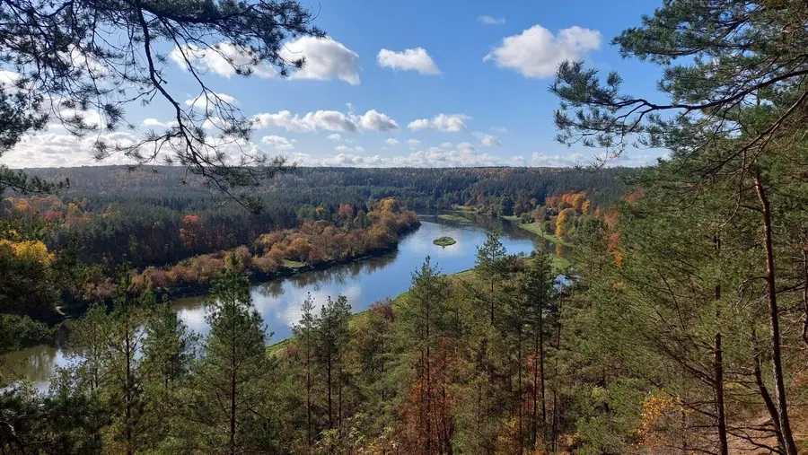
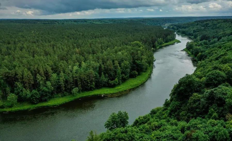
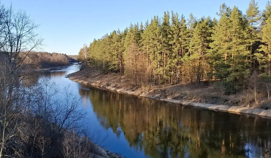
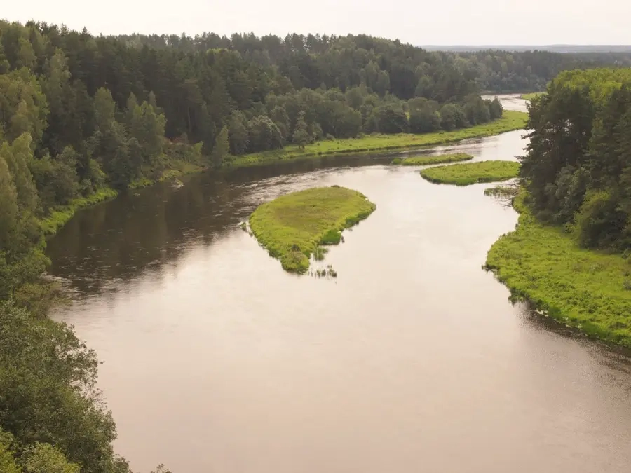
Neries tėkmė vidutinė (iki 4–6 km/h), kliūčių beveik nėra. Slėnis siauras, pakrantės gražios, apaugusios miškais, nemažai gerų vietų stovyklavietėms. Vandens maršrutas Nerimi jungia du didžiuosius Lietuvos miestus — sostinę Vilnių ir Kauną.
Anksčiau Neris buvo labai užteršta dėl intensyvios industrinės veiklos ir nefiltruotų nuotekų leidimo. Vilniuje nuotekų valymo įrenginiai pradėjo veikti 1986 m. Įstojus į Europos Sąjungą griežti aplinkosauginiai reikalavimai privertė tautiečius pakeisti požiūrį į sostinės pačiame centre tekančios Neries svarbą. Net ir šiomis dienomis dažnas vilnietis mano, kad Neris yra nešvari. Tai lengvai paneigia iš Baltijos jūros nerštui atplaukiančios lašišos ir šlakiai.
Map:
River profile
The computed slope uses EU-DEM digital elevation model data (25 m resolution). Because the model measures average surface height in each 25×25 m cell, it cannot precisely capture the depth of narrow river valleys — elevation differences and slope are therefore often smaller than in reality.
Water level
Water level history (30 days)
Source: LHMT · Water level is measured from the station's zero mark — negative values are normal. · VMS = Water management system