Kayaking on Šešupe
Specifications
- Length
This shows the official river length. Our calculated river length often differs from the official one. We calculate river length based on the drawn river curve on the map. Discrepancies exist due to different river start locations or different river curves through lakes and dams.
- 297 km
- In Lithuania
- 157 km
- In Poland
- 27 km
- In Russia
- 62 km
- Bordering Russia
- 51 km
- Difficulty
- 1/5
- Basin size
- 6105 km2
- In Lithuania
- 4782 km2
- In Poland
- 287 km2
- In Russia
- 919 km2
- Discharge
- 34.2 m3/s
- Slope
- 63 cm/km
- Water sources
- Snowmelt
- 37%
- Rainfall
- 36%
- Groundwater
- 27%
On the platform
- Routes
- 2
- Rentals
- 2
- Landmarks
- 45
- Gauging stations
- 2
About kayaking on Šešupe:
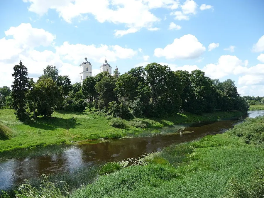
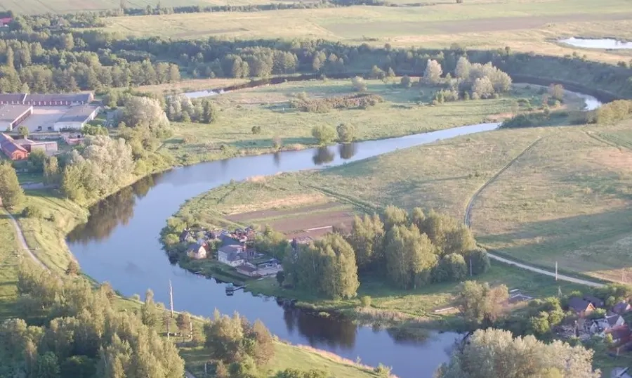
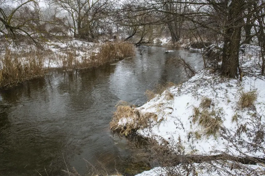
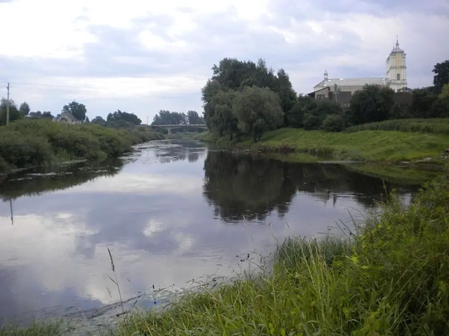
Šešupės ištakos Lenkojoje. Upės baseine ežerų mažai, todėl jos nuotėkis nedidelis (nors pati upė palyginti ilga) ir smarkiai svyruooja įvarių metų laiku. Šešupės slėnis negilus, pakrantėse miškų nedaug, aplinkui dirbama žemė.
Upėje kliūčių nedaug. Pasitaikio išgriautų užtvankų liekanų, seklių brastų. Šešupė žemiau dešiniojo intako Jotijos žiočių teka Kaliningrado srities teriitorija. Įteka į Nemuną.
Keliauti Šešupe galima nuo nedidelio miestelio Liubavo, esančio netoli sienos su Lenkija.
Map:
River profile
The computed slope uses EU-DEM digital elevation model data (25 m resolution). Because the model measures average surface height in each 25×25 m cell, it cannot precisely capture the depth of narrow river valleys — elevation differences and slope are therefore often smaller than in reality.
Water level
Water level history (30 days)
Source: LHMT · Water level is measured from the station's zero mark — negative values are normal. · VMS = Water management system