Kayaking on Strėva
Specifications
- Length
This shows the official river length. Our calculated river length often differs from the official one. We calculate river length based on the drawn river curve on the map. Discrepancies exist due to different river start locations or different river curves through lakes and dams.
- 80 km
- Difficulty
- 3/5
- Basin size
- 747 km2
- Discharge
- 4.7 m3/s
- Slope
- 137 cm/km
On the platform
- Routes
- 0
- Rentals
- 0
- Landmarks
- 10
- Gauging stations
- 1
About kayaking on Strėva:
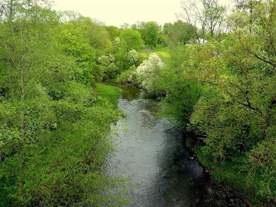
Strėvos, kaip ir jos sesers Verknės, ištakos prasideda Aukštadvario aukštumos ežeryne. Strėvos ištakas iš Strėvytės ežero nuo Verknės Galaverknyje skiria tik apie 14 km. Todėl ir tų upių ilgiai beveik vienodi — Verknės — 77, Strėvos — 81 km.
Didžiausias nuolydis žemupyje, tarp Bublių HE ir upės žiočių. Vid. metinis debitas (m^3/s): žemiau Spindžiaus ež. 1.1, žemiau Elektrėnų VRE reguliuojamas — 1.13, žiotyse 5.7. Tačiau natūralus Strėvos nuotėkis daug priklauso nuo jos jėgainių, turinčių didesnius tvenkinius (Bagdononių ir Bublių HE, Elektrėnų VRE), darbo: kai tos jėgainės veikia, upėje žemiau jų visada pakanka vandens, tačiau sausmečiais, kai jėgainės stovi, upė taip nusenka, kad ir lengva baidare ne visur galima paplaukti.
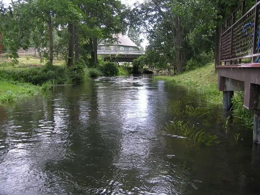
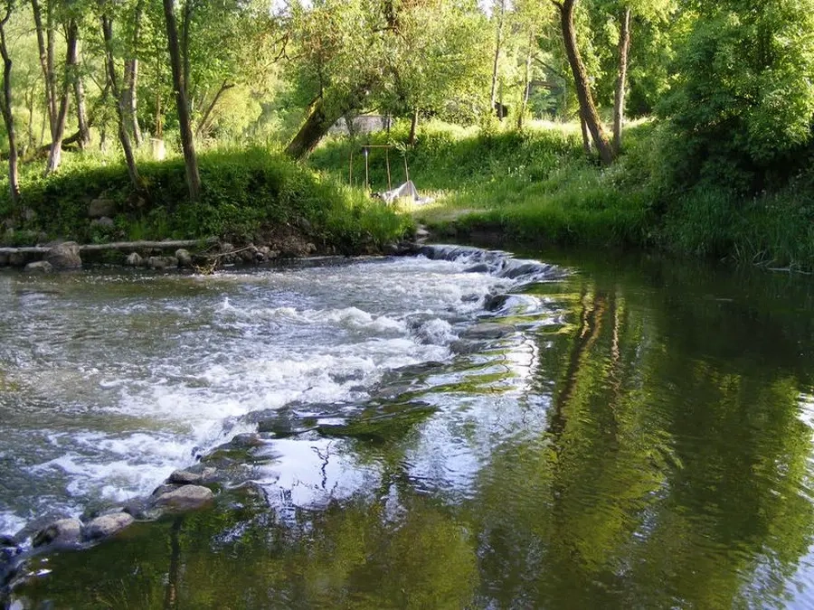
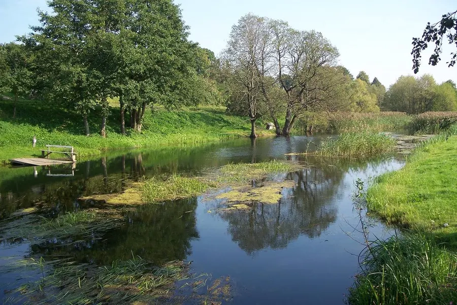
Kliūtys: 6 jėgainių 44 m aukščio užtvankos, siaura, vingiuota vaga, užvartos, užkamšos, nedidelės rėvos, dideli akmenys, seklios brastos. Maršrutas Strėva rekomenduotinas turistams žvejams, nes vandenys čia labai žuvingi. Kelionę galima pradėti Drabužio ežeru, esančiu Trakų—Aukštadvario paplentėje.
Map:
River profile
The computed slope uses EU-DEM digital elevation model data (25 m resolution). Because the model measures average surface height in each 25×25 m cell, it cannot precisely capture the depth of narrow river valleys — elevation differences and slope are therefore often smaller than in reality.
Water level
Water level history (30 days)
Source: LHMT · Water level is measured from the station's zero mark — negative values are normal. · VMS = Water management system