Kayaking on Šušve
Specifications
- Length
This shows the official river length. Our calculated river length often differs from the official one. We calculate river length based on the drawn river curve on the map. Discrepancies exist due to different river start locations or different river curves through lakes and dams.
- 130 km
- Difficulty
- 2/5
- Basin size
- 1170 km2
- Discharge
- 1.3 m3/s
- Slope
- 86 cm/km
On the platform
- Routes
- 0
- Rentals
- 0
- Landmarks
- 13
- Gauging stations
- 2
About kayaking on Šušve:
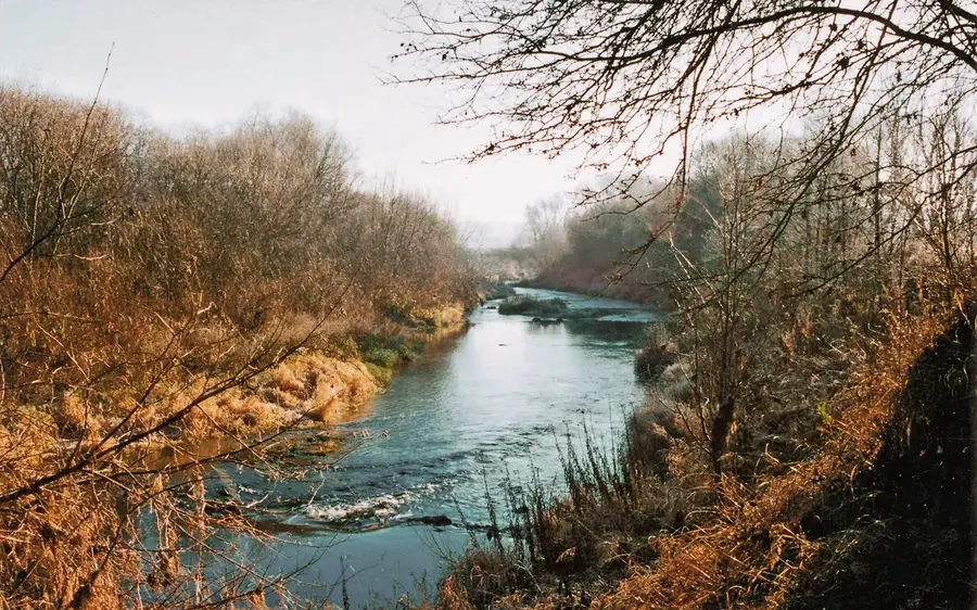
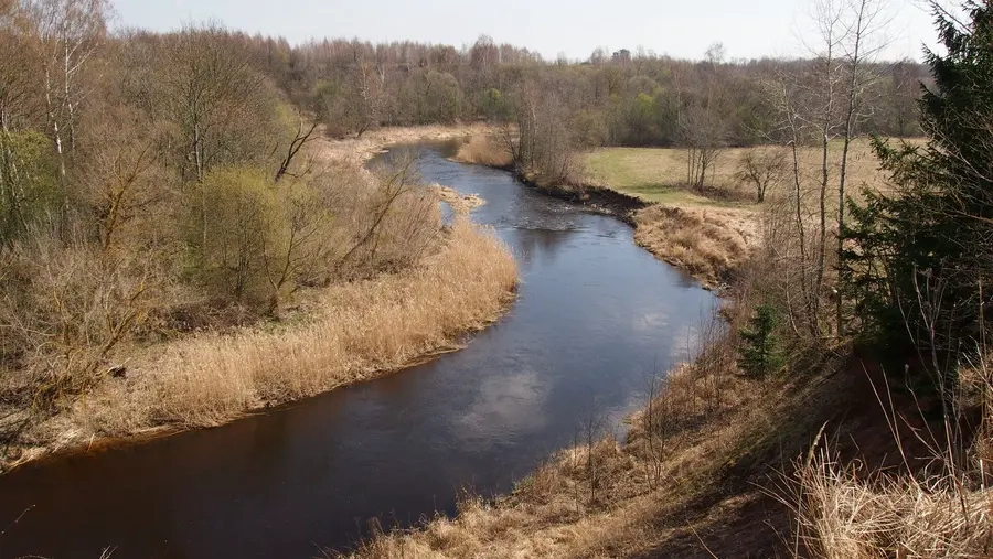
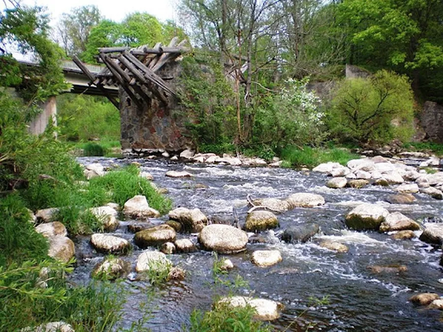
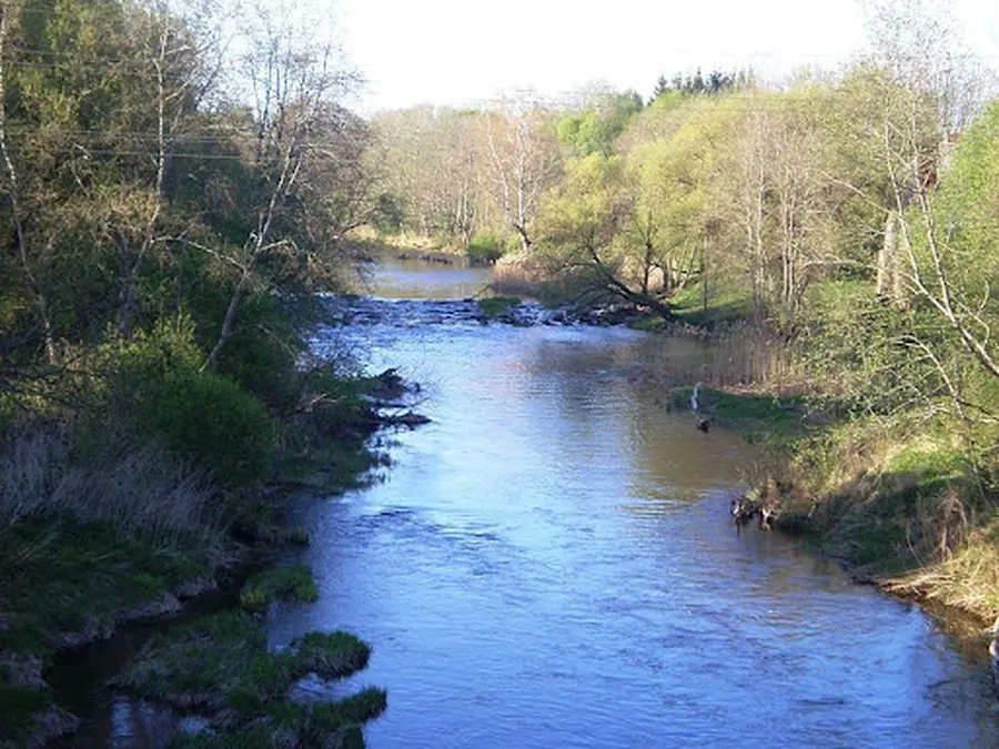
Tai didžiausias Nevėžio intakas. Jo versmės yra Tyrulių pelkėje (Kelmės raj.). Pirmoje upės dalyje nuolydis nedidelis, tėkmė negreita. Antroje (nuo 68 km) nuolydis didesnis — vid. 1,06 m/km, tad atitinka sunkaus maršruto reikalavimus. Slėnis įvairus: yra lėkštų ruožų, statesnių krantų. Dažnesnės kliūtys: išgriautų užtvankų slenksčiai, akmenuotos rėvos, sraunumos, užkamšos, taip pat neseniai pastatytos užtvankos ties Angiriais ir Kairėnais.
Šušvės nuotėkis per metus smarkiai svyruoja, nes baseine nėra didesnių gamtinių vandens akumuliatorių — ežerų, pelkių, didelių miškų. Todėl keliauti lengvu laiveliu geriau pavasarį ar kitu lietingu periodu. Kelionę galite pradėti nuo Šiaulėnų (109 km) arba Grinkiškio (70 km).
Map:
River profile
The computed slope uses EU-DEM digital elevation model data (25 m resolution). Because the model measures average surface height in each 25×25 m cell, it cannot precisely capture the depth of narrow river valleys — elevation differences and slope are therefore often smaller than in reality.
Water level
Water level history (30 days)
Source: LHMT · Water level is measured from the station's zero mark — negative values are normal. · VMS = Water management system