Kayaking on Teneniu
Specifications
- Length
This shows the official river length. Our calculated river length often differs from the official one. We calculate river length based on the drawn river curve on the map. Discrepancies exist due to different river start locations or different river curves through lakes and dams.
- 74 km
- Difficulty
- 2/5
- Basin size
- 281 km2
- Discharge
- 3.5 m3/s
- Slope
- 106 cm/km
On the platform
- Routes
- 0
- Rentals
- 0
- Landmarks
- 10
- Gauging stations
- 1
About kayaking on Teneniu:
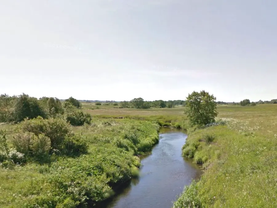
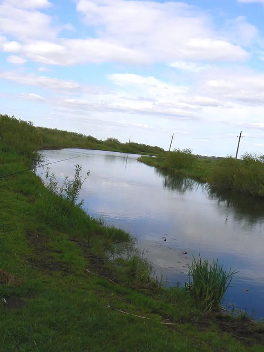
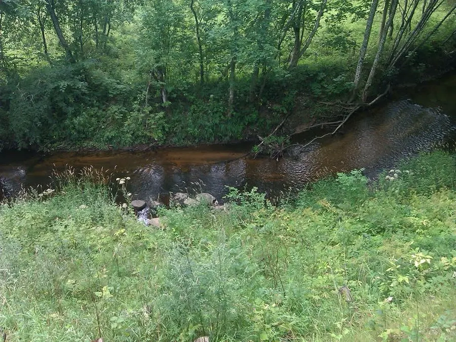
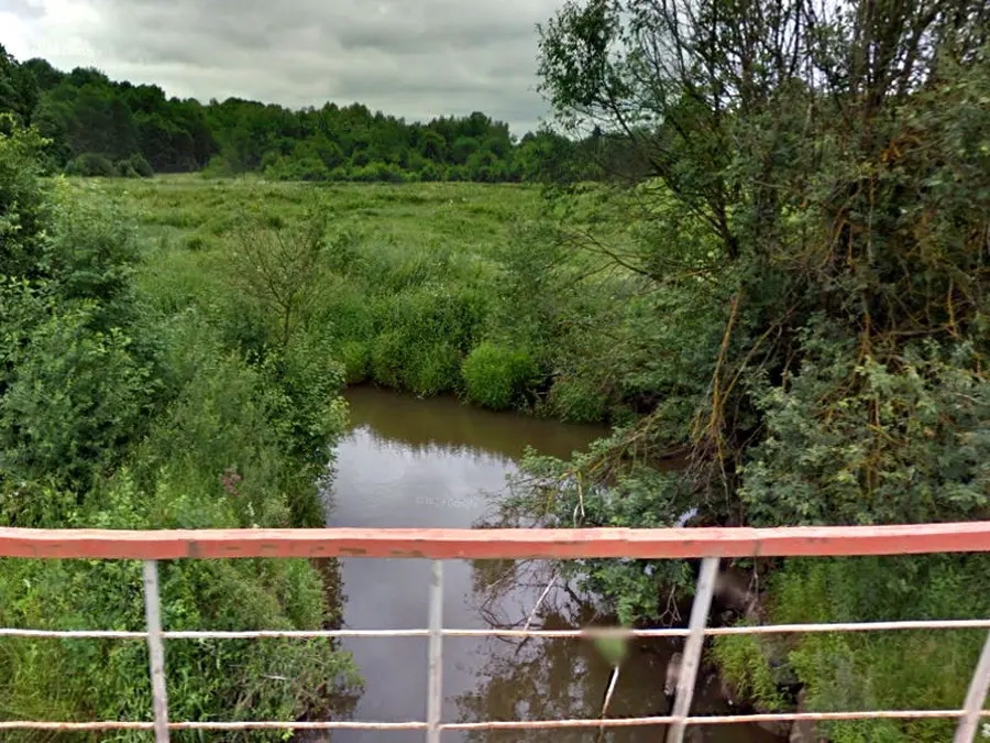
Tenenys – vakarų Lietuvos upė, Šilalės ir Šilutės rajonuose, kairysis Minijos intakas. Išteka iš Kupsčio ežero, 3 km į šiaurės vakarus nuo Pajūrio (Šilalės raj.). Teka į vakarus. Įteka į Miniją 10 km nuo žiočių, ties Vabalais, 3 km į rytus nuo Kintų (Šilutės raj.). Vidutinis nuolydis 106 cm/km. Debitas ties Miestaliais (15 km nuo žiočių): didžiausias 20,2 m³/s, vidutinis 2,58 m³/s, minimalus vasarą 0,20 m³/s, minimalus žiemą 0,23 m³/s. Vidutinis debitas žiotyse 3,46 m³/s. Pavasarį upė nuplukdo 29 %, vasarą 8 %, rudenį – 28 %, žiemą 35 % viso metinio nuotėkio. 24 km nuo žiočių, ties Ramučiais (Šilutės raj.) yra 54 ha drėkinimo tvenkinys (nuo 1976).
Map:
River profile
The computed slope uses EU-DEM digital elevation model data (25 m resolution). Because the model measures average surface height in each 25×25 m cell, it cannot precisely capture the depth of narrow river valleys — elevation differences and slope are therefore often smaller than in reality.
Water level
Water level history (30 days)
Source: LHMT · Water level is measured from the station's zero mark — negative values are normal. · VMS = Water management system