Kayaking on Veiviržu
Specifications
- Length
This shows the official river length. Our calculated river length often differs from the official one. We calculate river length based on the drawn river curve on the map. Discrepancies exist due to different river start locations or different river curves through lakes and dams.
- 71 km
- Difficulty
- 3/5
- Basin size
- 686 km2
- Discharge
- 9.1 m3/s
- Slope
- 155 cm/km
On the platform
- Routes
- 0
- Rentals
- 0
- Landmarks
- 8
- Gauging stations
- 1
About kayaking on Veiviržu:
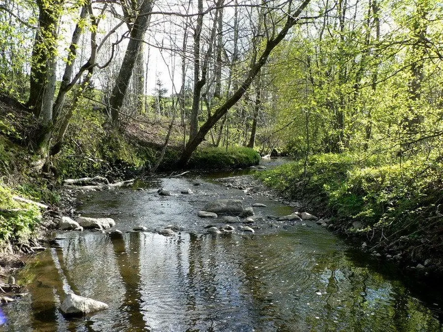
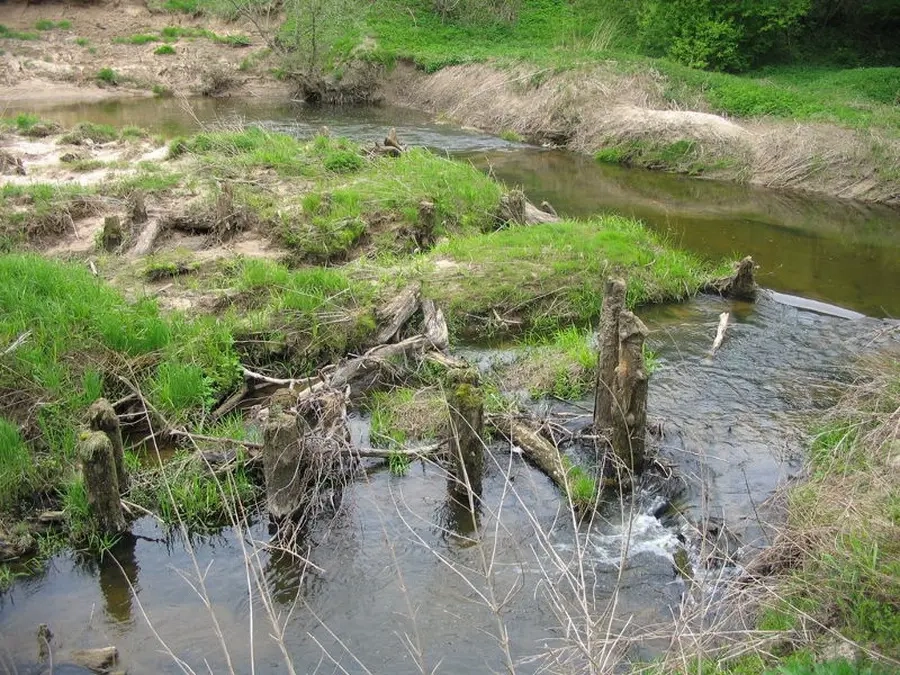
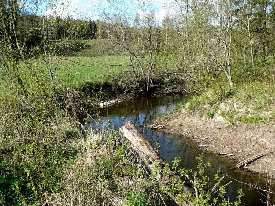
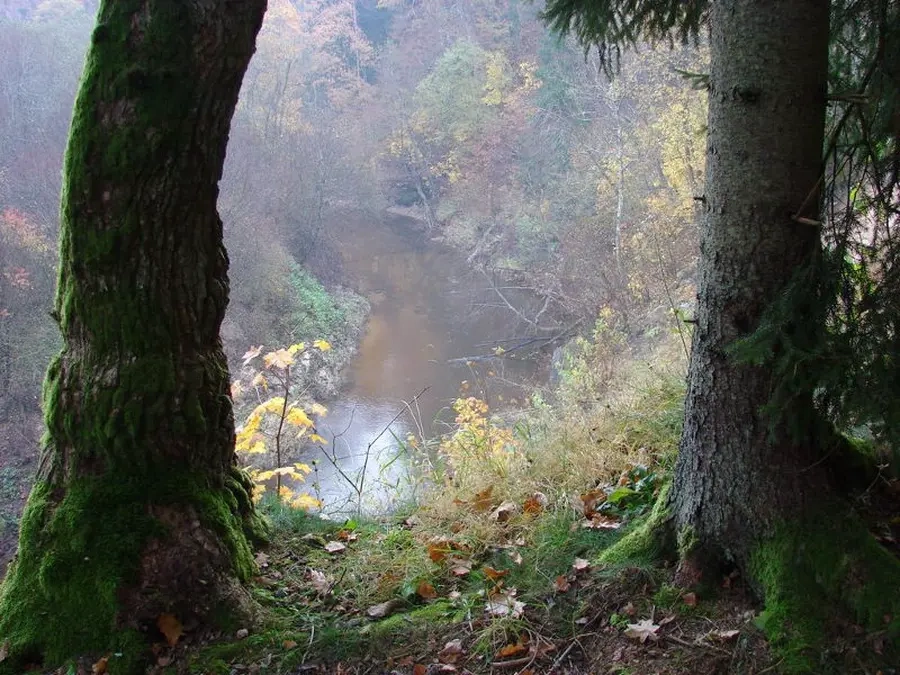
Tai Minijos žemupio intakas, tekantis nuo vakarinių Žemaitijos aukštumos šlaitų. Aukštupio ir vidurupio nuolydis gan didelis — siekia 2,3 m/km. Žemupyje, žemiau didžiausio intako Ašvos, Veiviržas išsiveržia į Pajūrio žemumą, nuolydis smarkiai krinta, upė nurimsta.
Kai vanduo pakyla, Veiviržo vidurupis tinka būti klasifikuojamu, kaip sunkiu maršrutu.
Map:
River profile
The computed slope uses EU-DEM digital elevation model data (25 m resolution). Because the model measures average surface height in each 25×25 m cell, it cannot precisely capture the depth of narrow river valleys — elevation differences and slope are therefore often smaller than in reality.
Water level
Water level history (30 days)
Source: LHMT · Water level is measured from the station's zero mark — negative values are normal. · VMS = Water management system