Kayaking on Verkne
Specifications
- Length
This shows the official river length. Our calculated river length often differs from the official one. We calculate river length based on the drawn river curve on the map. Discrepancies exist due to different river start locations or different river curves through lakes and dams.
- 77 km
- Difficulty
- 1/5
- Basin size
- 703 km2
- Discharge
- 5.7 m3/s
- Slope
- 130 cm/km
On the platform
- Routes
- 0
- Rentals
- 0
- Landmarks
- 14
- Gauging stations
- 1
About kayaking on Verkne:
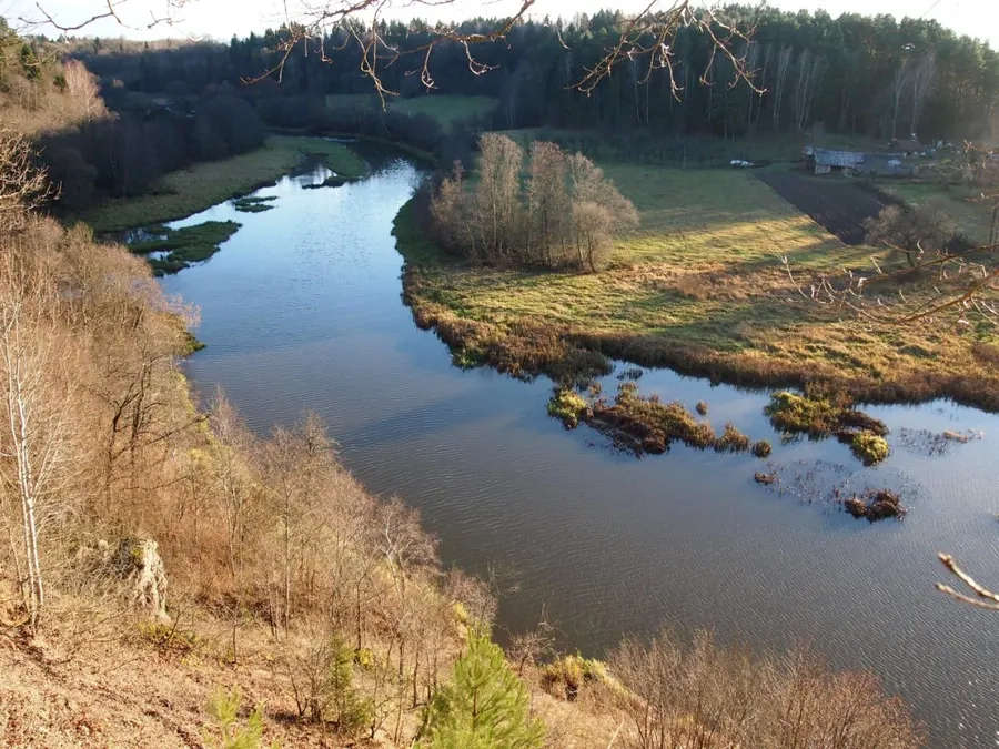
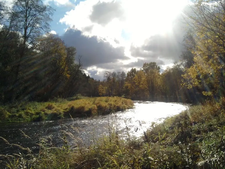
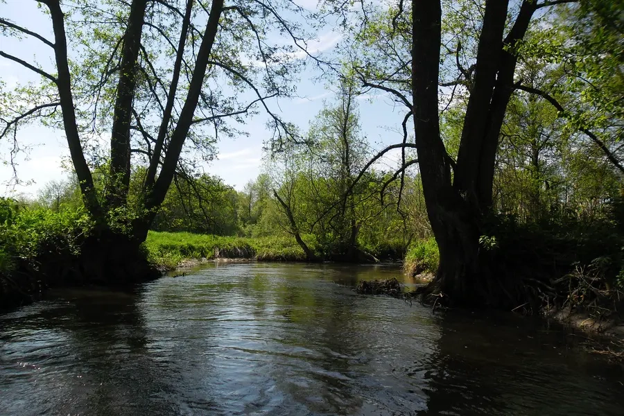
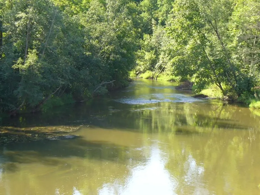
Verknė - nedidelis, tačiau turistiniu požiūriu gana įdomus Nemuno dešinysis intakas. Teritorija, per kurią teka Verknė, yra labai ryškaus kraštovaizdžio: daug didelių kalvų, greta jų plyti lygūs smėlingi ploteliai ir pelkėtos daubos. Pasakojama, kad ir Verknė tokiu graudžiu vardu pavadinta todėl, jog ji nuo kalnelio į daubą, nuo akmenėlio ant žvyrkelio, vingių vingiais vingiuoja nederlingomis šiaurės Dzūkijos žemėmis. Senajam to krašto gyventojui liesa žemelė teikdavusi varganą derlių, alkanų vaikų verksmą...
Map:
River profile
The computed slope uses EU-DEM digital elevation model data (25 m resolution). Because the model measures average surface height in each 25×25 m cell, it cannot precisely capture the depth of narrow river valleys — elevation differences and slope are therefore often smaller than in reality.
Water level
Water level history (30 days)
Source: LHMT · Water level is measured from the station's zero mark — negative values are normal. · VMS = Water management system