Kayaking on Virinta
Specifications
- Length
This shows the official river length. Our calculated river length often differs from the official one. We calculate river length based on the drawn river curve on the map. Discrepancies exist due to different river start locations or different river curves through lakes and dams.
- 75 km
- Difficulty
- 2/5
- Basin size
- 552 km2
- Discharge
- 5 m3/s
- Slope
- 148 cm/km
On the platform
- Routes
- 0
- Rentals
- 0
- Landmarks
- 5
- Gauging stations
- 0
About kayaking on Virinta:
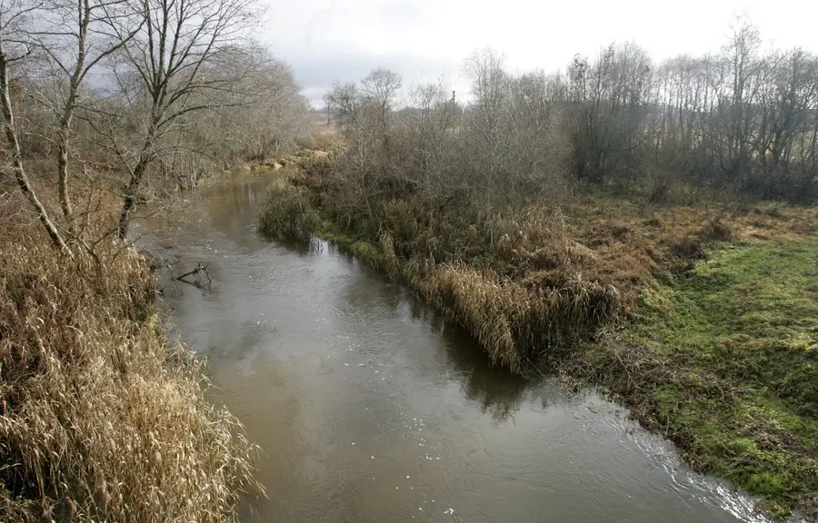
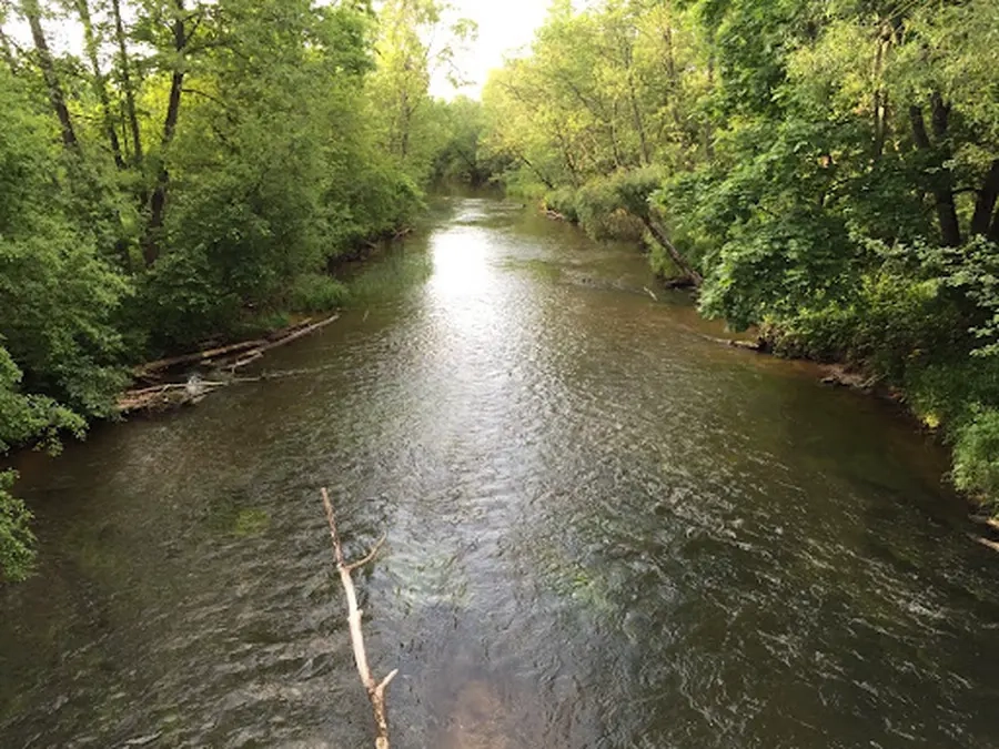
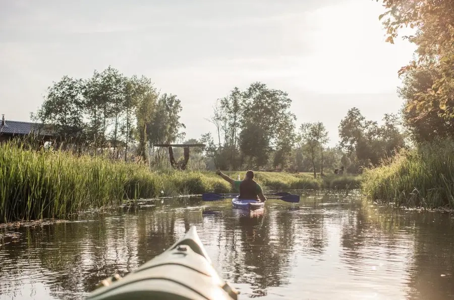
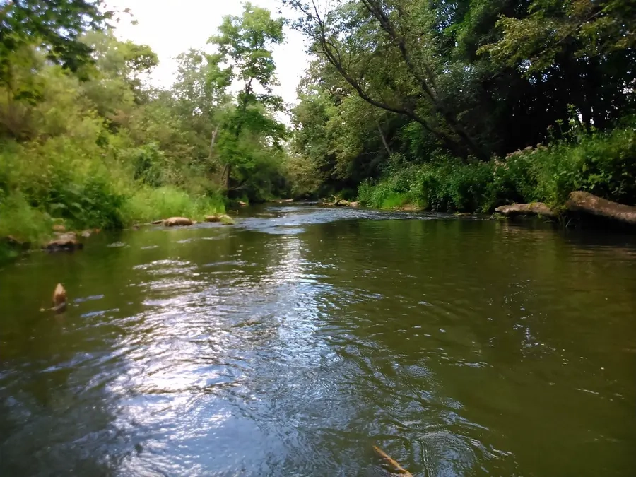
Tai kairysis Šventosios intakas. Nors Virintos baseinas gan ežeringas, tačiau vasarą upė smarkiai nusenka. Keliauti galima tik pakilus vandens lygiui. Upės hidrologiniai duomenys rodo, kad plaukti baidarėmis yra sudėtinga. Slėnis tankiai gyvenamas, pakrantėse miškų mažai, gerų vietų nakvynei nedaug. Kelionę galite pradėti Virintų ežeru, kurio pakraščiu eina Molėtų–Utenos plentas. Kliūtys: rėvos, išgriautų užtvankų slenksčiai, užvartos, staigūs posūkiai.
Map:
River profile
The computed slope uses EU-DEM digital elevation model data (25 m resolution). Because the model measures average surface height in each 25×25 m cell, it cannot precisely capture the depth of narrow river valleys — elevation differences and slope are therefore often smaller than in reality.