Kayaking on Apaščia
Specifications
- Length
This shows the official river length. Our calculated river length often differs from the official one. We calculate river length based on the drawn river curve on the map. Discrepancies exist due to different river start locations or different river curves through lakes and dams.
- 88 km
- Difficulty
- 1/5
- Basin size
- 893 km2
- Discharge
- 5 m3/s
- Slope
- 70 cm/km
On the platform
- Routes
- 0
- Rentals
- 0
- Landmarks
- 19
- Gauging stations
- 0
About kayaking on Apaščia:
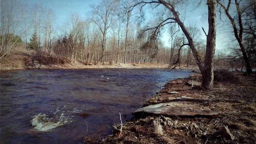
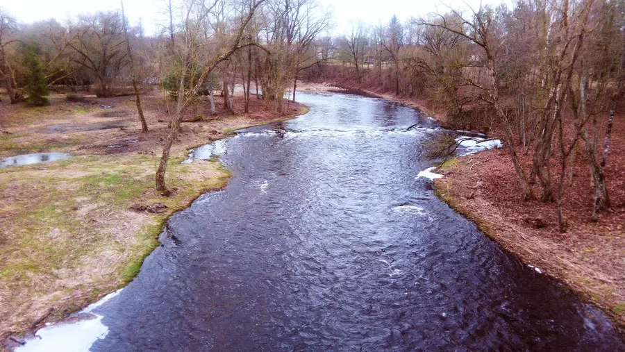
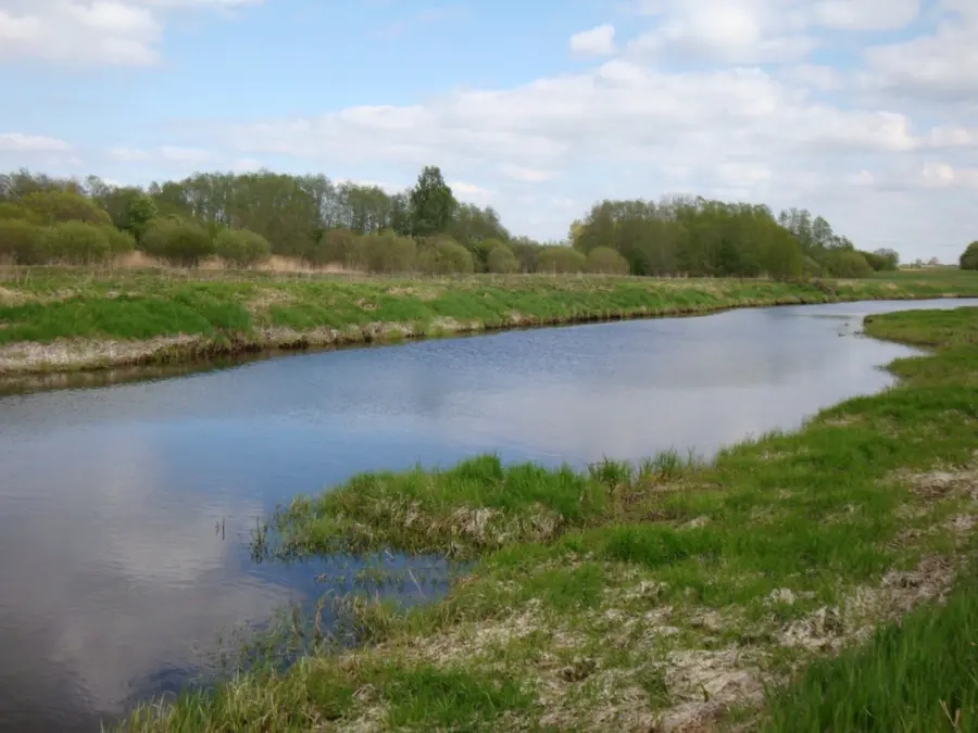
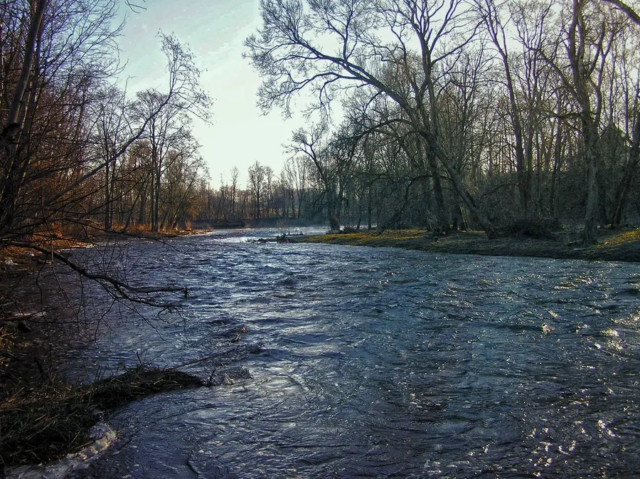
Tai kairysis Nemunėlio intakas. Jo ištakos netoli Pandėlio. Upė teka per Biržus. Apaščios nuolydis mažas, tėkmė rami. Metinis nuotėkis smarkiai svyruoja, todėl plaukti galima tik tada, kai vanduo pakyla. Slėnis lėkštas, miškų mažai. Apaščios žemupyje (nuo 8 km iki žiočių) nuolydis padidėja iki 1,25 m/km, vagoje yra akmenuotų sraunumų, krantuose — dolomitinių atodangų. Kitų ruožų pagrindinės kliūtys: seklumos, vandens augalija.
Map:
River profile
The computed slope uses EU-DEM digital elevation model data (25 m resolution). Because the model measures average surface height in each 25×25 m cell, it cannot precisely capture the depth of narrow river valleys — elevation differences and slope are therefore often smaller than in reality.