Kayaking on Jiesia
Specifications
- Length
This shows the official river length. Our calculated river length often differs from the official one. We calculate river length based on the drawn river curve on the map. Discrepancies exist due to different river start locations or different river curves through lakes and dams.
- 69 km
- Difficulty
- 4/5
- Basin size
- 499 km2
- Discharge
- 3 m3/s
- Slope
- 115 cm/km
On the platform
- Routes
- 0
- Rentals
- 0
- Landmarks
- 9
- Gauging stations
- 0
About kayaking on Jiesia:
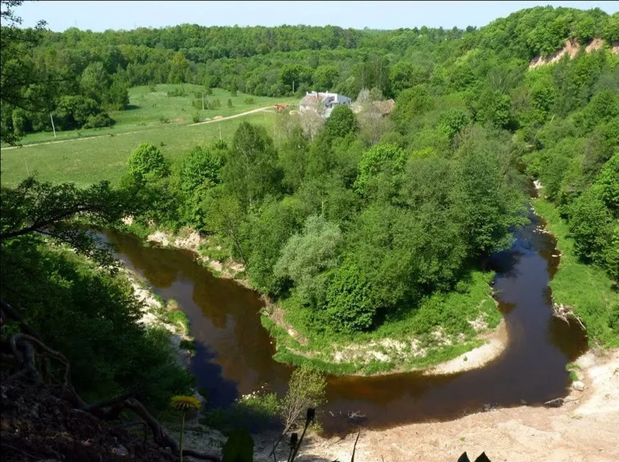
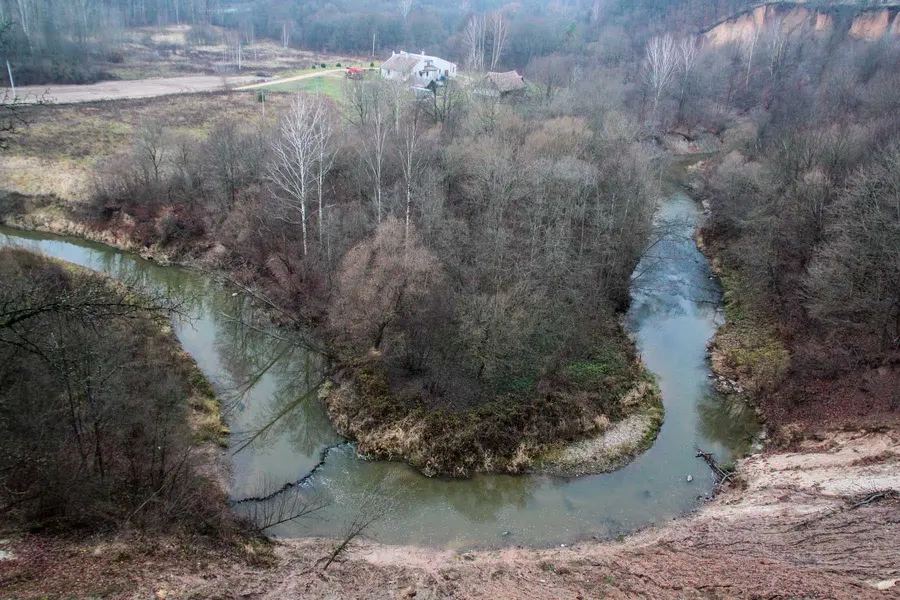
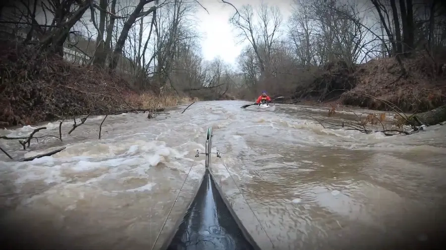
Ji įteka į Nemuną Kaune. Jiesios hidrologiniai duomenys tinka sunkaus maršruto klasifikacijai, tačiau tik tada, kai vanduo būna pakilęs. Gamtiniai nuotėkio svyravimai per metus būna dideli. Be to, nuotėkis priklauso ir nuo Išlaužo žuvininkystės ūkio tvenkinio užtvankos laidumo. Keliauti patartina pavasarį ar kitu metu, kai smarkiai palyja.
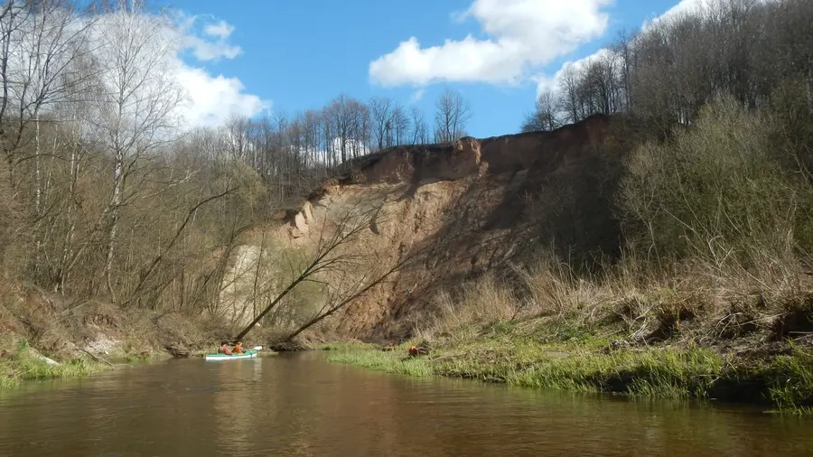
Žygį galite pradėti nuo Kauno–Prienų kelio tilto (21 km). Kliūtys: rėvos, akmenuoti slenksčiai, prispaudimų prie pakrantės krūmų, užvartų vietos. Seniau Jiesioje Kauno vandens turistai pavasarį dažnai rengdavo vandens turizmo technikos varžybas. Maršrutas tinka poilsio dienos treniruočių išvykai baidare ar pripučiamąja valtimi.
Map:
River profile
The computed slope uses EU-DEM digital elevation model data (25 m resolution). Because the model measures average surface height in each 25×25 m cell, it cannot precisely capture the depth of narrow river valleys — elevation differences and slope are therefore often smaller than in reality.