Kayaking on Jūra
Specifications
- Length
This shows the official river length. Our calculated river length often differs from the official one. We calculate river length based on the drawn river curve on the map. Discrepancies exist due to different river start locations or different river curves through lakes and dams.
- 177 km
- Difficulty
- 3/5
- Basin size
- 3986 km2
- Discharge
- 41.8 m3/s
- Slope
- 60 cm/km
On the platform
- Routes
- 1
- Rentals
- 1
- Landmarks
- 26
- Gauging stations
- 2
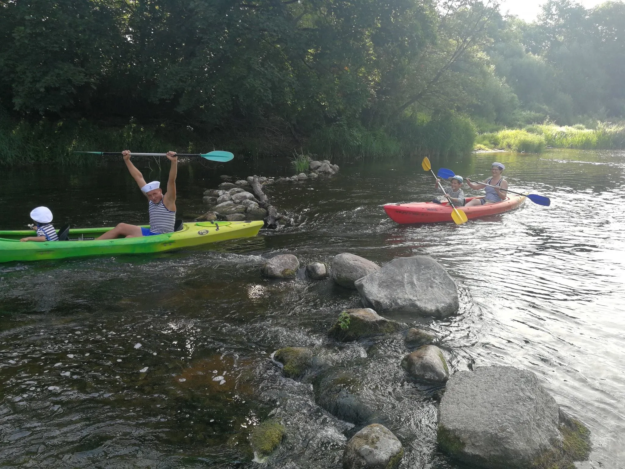
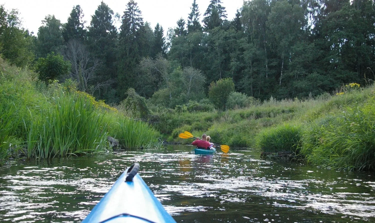
About kayaking on Jūra:
Tai dešinysis Nemuno intakas, tekantis nuo Žemaičių aukštumos, todėl jos nuolydis pastebimai didesnis. Jūros baseine nėra ežerų, čia iškrinta daugiau kritulių (vidutiniškai per metus 750–800 mm, o Lietuvos vidurkis — 600 mm). Smarkūs potvyniai Jūrai būdingi ne tik per pavasario polaidį, bet ir vasarą po didesnių liūčių.
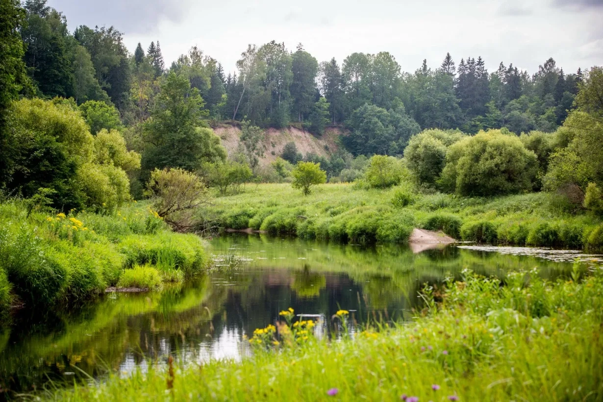
Aukštupyje slėnys lėkštas, o žemiau dešiniojo intako Letauso upė pradeda leistis nuo Žemaičių aukštumos: slėnis palengva gilėja, krantai vietomis skardingi.
Jūros aukštupio ir vidurupio nuotėkis nėra didelis. Jį smarkiai (beveik dvigubai) papildo dviejų didesnių intakų — Akmenos ir Šešuvies — vandenys.
Kadangi Jūroje yra kliūčių (akmenuotos rėvos, išgriautų užtvankų slenksčiai), plaukti ja rekomenduojama tik pradinį patyrimą turintiems vandens turistams.
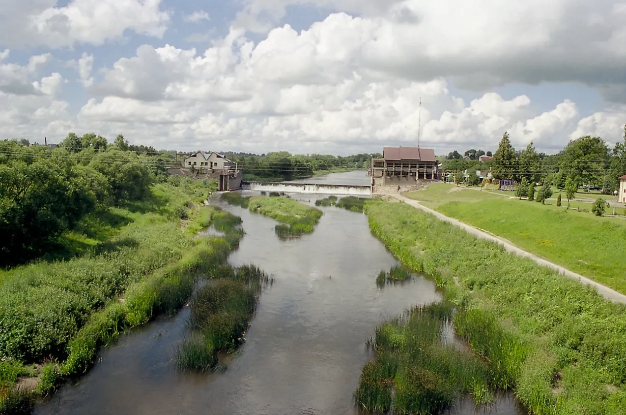
Aukštupyje kelionę patogu pradėti nuo Rietavo. Čia yra kanalizuotas upės ruožas. Tauragėje Jūra patvenkta 3 m aukščio užtvanka, kurios patvanka tęsiasi 6 km. Žemiau Šešuvies žiočių (36 km) srovė sulėtėja, slėnys išsiplečia, Jūra lėtai srūva į Nemuną.
Map:
River profile
The computed slope uses EU-DEM digital elevation model data (25 m resolution). Because the model measures average surface height in each 25×25 m cell, it cannot precisely capture the depth of narrow river valleys — elevation differences and slope are therefore often smaller than in reality.
Water level
Water level history (30 days)
Source: LHMT · Water level is measured from the station's zero mark — negative values are normal. · VMS = Water management system