Kayaking on Merkiu
Specifications
- Length
This shows the official river length. Our calculated river length often differs from the official one. We calculate river length based on the drawn river curve on the map. Discrepancies exist due to different river start locations or different river curves through lakes and dams.
- 203 km
- Difficulty
- 3/5
- Basin size
- 4416 km2
- Discharge
- 33 m3/s
- Slope
- 67 cm/km
On the platform
- Routes
- 0
- Rentals
- 0
- Landmarks
- 36
- Gauging stations
- 2
About kayaking on Merkiu:
Kaip aukštaičiams Šventoji, suvalkiečiams Šešupė, taip dzūkams sava upė yra Merkys, gražus ir mielas, neatskiriamas nuo šio dainų ir padavimų krašto, žydra juosta vingiuojantis pačiu Dzūkijos viduriu.
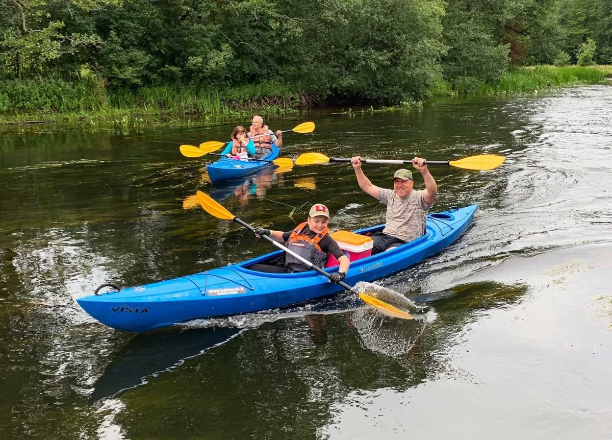
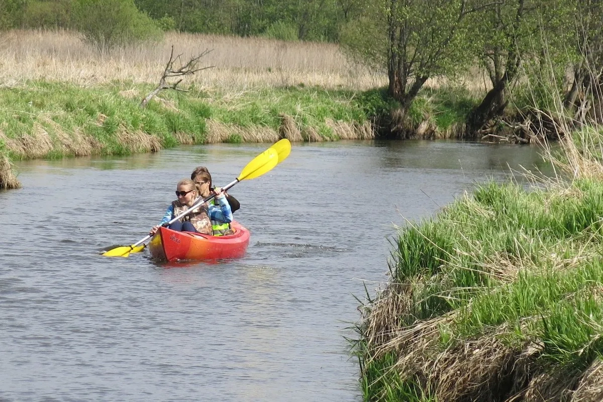
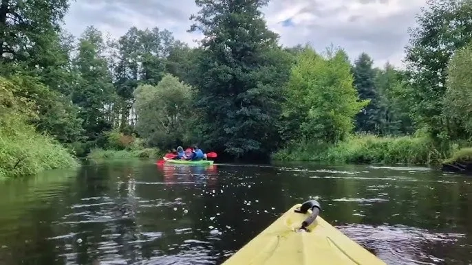
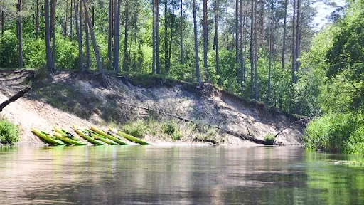
Tai viena iš populiariausių upių tarp Respublikos vandens turistų. Kelionių mėgėjus vilioja skaidrus, neužterštas vanduo ir miškingos pakrantės. Lengvais laiveliais, baidarėmis galima plaukti nuo Tabariškių (182 km) lietingu periodu. Sausą vasarą rekomenduotina žygį pradėti nuo Jašiūnų (144 km).
Ties Baltosios Vokės gyvenviete (119 km) Merkys patvenktas užtvanka, kuri nukreipia didžiąją dalį Merkio vandens į Merkio–Vokės kanalą. Žemiau užtvankos 6 km seklioje vagoje yra daug medžių užvartų, užkamšų. Sausą vasarą šį ruožą įveikti gan sunku.
Toliau įsilieja keletas intakų, Merkio vandeningumas padidėja. Ties Valkininkais įteka didelis intakas Šalčia (89 km). Merkys vėl tinka kelionei visomis plaukimo priemonėmis. Jei iki Merkio turistams patogiau vykti traukiniu, rekomenduojame kelionę pradėti nuo Pamerkio kaimo (7 km), kur stoja Vilniaus–Varėnos krypties dyzeliniai traukiniai.
Merkio tėkmė negreita, kliūčių beveik nėra, tik žemiau kairiojo intako Ūlos žiočių yra keletas sraunių rėvų. Todėl ši upė labai patogi poilsio ir šeimos turizmui.
Merkys įteka į Nemuną ties Merkine.
Map:
River profile
The computed slope uses EU-DEM digital elevation model data (25 m resolution). Because the model measures average surface height in each 25×25 m cell, it cannot precisely capture the depth of narrow river valleys — elevation differences and slope are therefore often smaller than in reality.
Water level
Water level history (30 days)
Source: LHMT · Water level is measured from the station's zero mark — negative values are normal. · VMS = Water management system