Kayaking on Nevėžiu
Specifications
- Length
This shows the official river length. Our calculated river length often differs from the official one. We calculate river length based on the drawn river curve on the map. Discrepancies exist due to different river start locations or different river curves through lakes and dams.
- 210 km
- Difficulty
- 1/5
- Basin size
- 6141 km2
- Discharge
- 33.2 m3/s
- Slope
- 35 cm/km
On the platform
- Routes
- 0
- Rentals
- 0
- Landmarks
- 43
- Gauging stations
- 3
About kayaking on Nevėžiu:
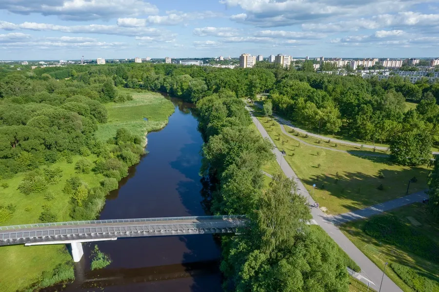
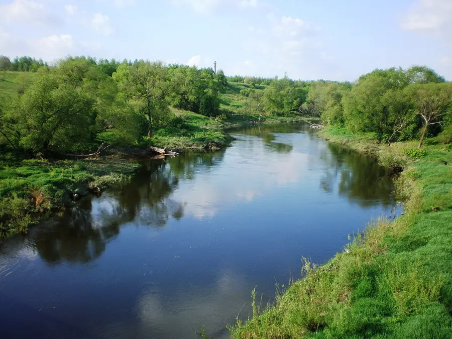
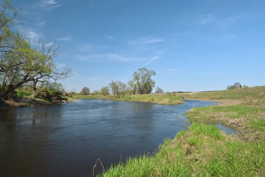
Nevėžis - ramiausia Lietuvos upė. Senovėje ši upė skyrė žemaičius nuo aukštaičių. Mėgstantiems pairkluoti ir ypač pradedantiesiems vandens turistams, norintiems geriau pažinti Vidurio Lietuvą, patartume keliauti - Nevėžiu. Nesudėtinga, gana lengvai įveikiama upė, palyginti nedaug užtvankų ar jų liekanų, tik viena kita sraunumėlė aukštupyje ir vidurupyje. Patogu keliauti ir Nevėžio pakrantėmis; paupės sodžius, miestelius jungia neblogi, daug kur asfaltuoti keliai arba žvyrkeliai.
Map:
River profile
The computed slope uses EU-DEM digital elevation model data (25 m resolution). Because the model measures average surface height in each 25×25 m cell, it cannot precisely capture the depth of narrow river valleys — elevation differences and slope are therefore often smaller than in reality.
Water level
Water level history (30 days)
Source: LHMT · Water level is measured from the station's zero mark — negative values are normal. · VMS = Water management system