Kayaking on Šalčia
Specifications
- Length
This shows the official river length. Our calculated river length often differs from the official one. We calculate river length based on the drawn river curve on the map. Discrepancies exist due to different river start locations or different river curves through lakes and dams.
- 92 km
- Difficulty
- 3/5
- Basin size
- 763 km2
- Discharge
- 5.7 m3/s
- Slope
- 92 cm/km
On the platform
- Routes
- 0
- Rentals
- 0
- Landmarks
- 13
- Gauging stations
- 1
About kayaking on Šalčia:
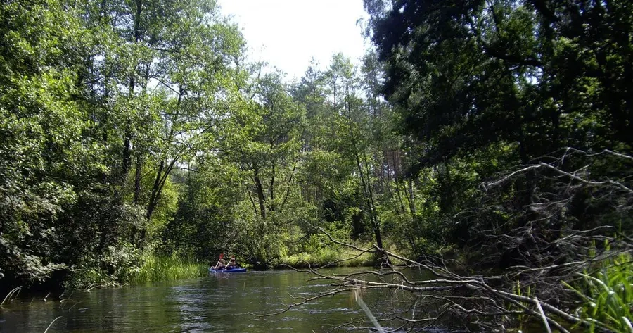
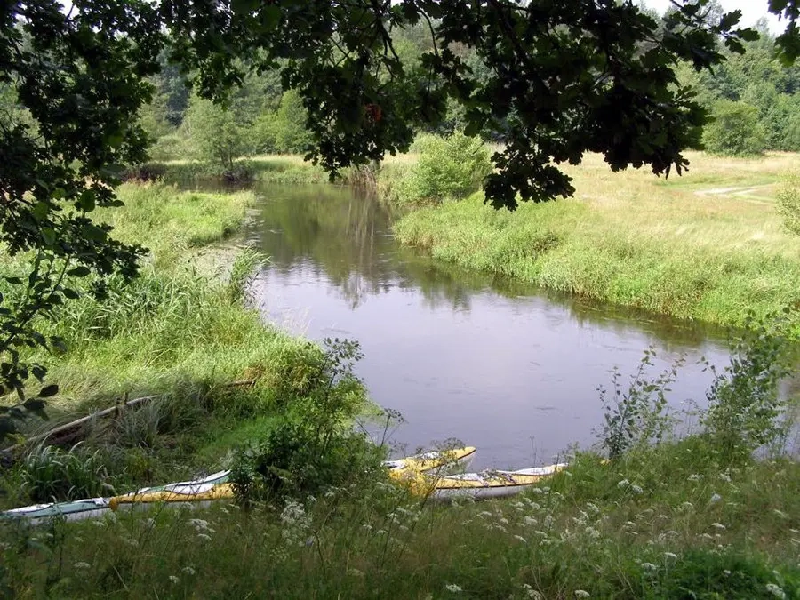
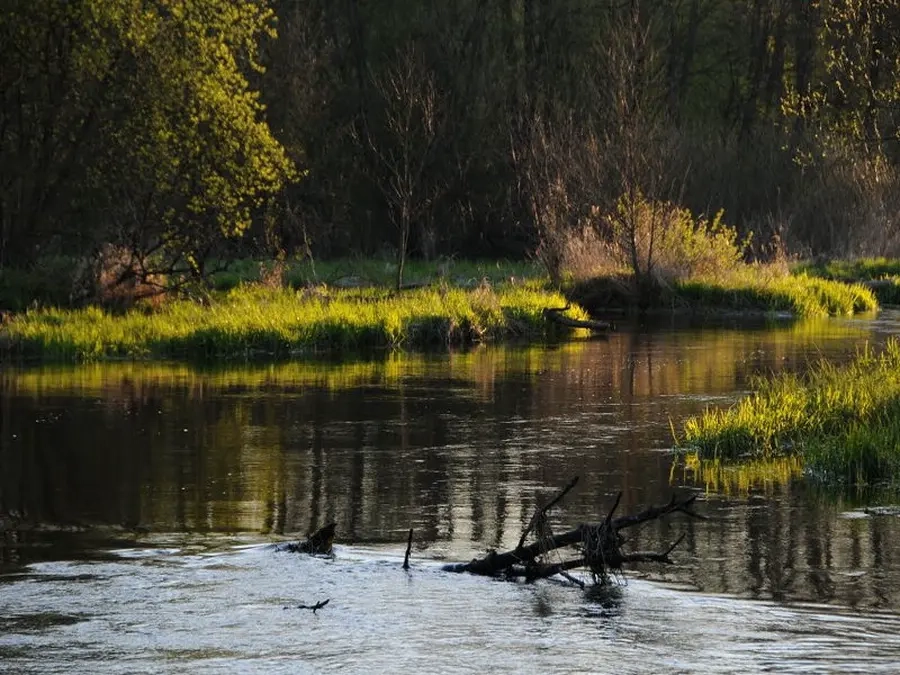
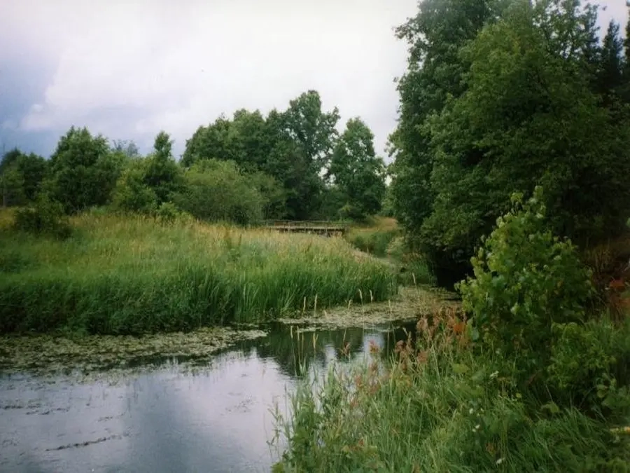
Tai didžiausias Merkio intakas. Jo vanduo švarus, tėkmė rami, krantai miškingi. Upė labai vingiuota. Per metus Šalčios nuotėkis mažai kinta, nes baseine daug pelkėtų miškų. Keliauti galima visą sezoną. Aukštupyje kelionę galima pradėti nuo Vilniaus–Lydos plento tilto per Šalčią. Upė šioje vietoje teka Lietuvos–Baltarusijos siena. Toliau galite plaukti vaizdinga Merkio upe, kurioje kliūčių beveik nėra. Geriausia keliauti baidarėmis ar pripučiamosiomis valtimis.
Map:
River profile
The computed slope uses EU-DEM digital elevation model data (25 m resolution). Because the model measures average surface height in each 25×25 m cell, it cannot precisely capture the depth of narrow river valleys — elevation differences and slope are therefore often smaller than in reality.
Water level
Water level history (30 days)
Source: LHMT · Water level is measured from the station's zero mark — negative values are normal. · VMS = Water management system