Kayaking on Virvyte/Virvyčia
Specifications
- Length
This shows the official river length. Our calculated river length often differs from the official one. We calculate river length based on the drawn river curve on the map. Discrepancies exist due to different river start locations or different river curves through lakes and dams.
- 110.6 km
- Difficulty
- 3/5
- Basin size
- 1144 km2
- Discharge
- 9.9 m3/s
- Slope
- 85 cm/km
On the platform
- Routes
- 0
- Rentals
- 0
- Landmarks
- 18
- Gauging stations
- 0
About kayaking on Virvyte/Virvyčia:
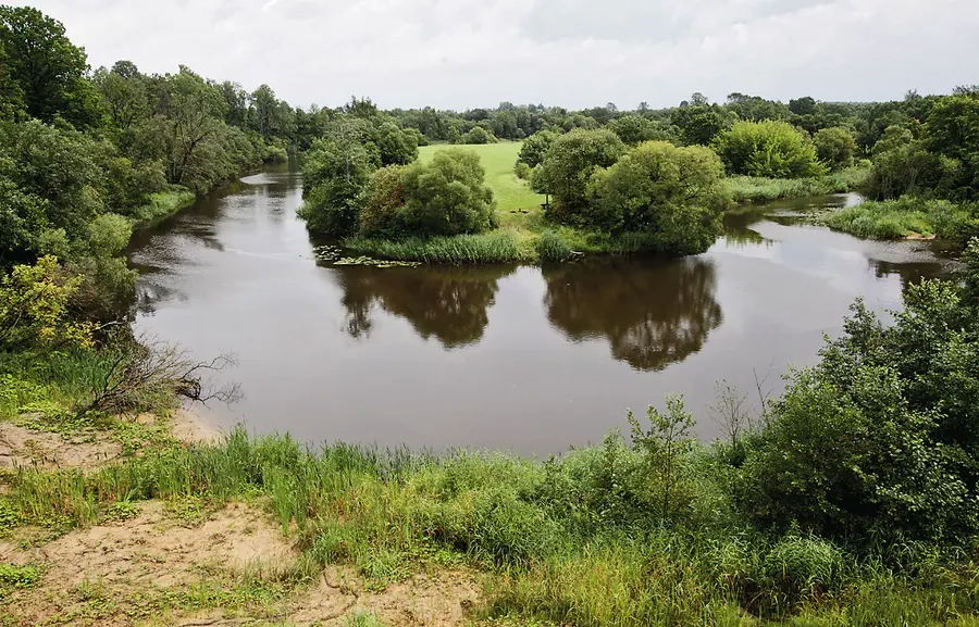
Tai didžiausias Ventos intakas. Aukštupyje upė teka per ežerus (Paršežerį, Lūkstą, Biržulį), tyvuliuojančius Varnių apylinkėse. Daugelyje ruožų jos nuolydis viršija 1 m/km. Todėl Virvyčia yra viena iš sunkesnių upių plaukimui laiveliais.
Nuotėkio metinius svyravimus mažina aukštupio ežerai. Todėl, renkantis maršrutą Žemaitijoje nelietingu metu, galima tikėtis, kad Virvyčioje vandens bus pakankamai. Tuo metu kitos Žemaitijos upės gali būti per seklios.
Pavasarį ar kitu lietingu metu kelionę galima pradėti Virvyčios aukštupyje, nuo Lūksto ežero. Tačiau per toliau esantį Biržulio ežerą paprastai sunkoka būna plaukti (trukdo užkamšos, sunku orientuotis protakose). Todėl dauguma vandenininkų žygį pradeda nuo Varnių–Pavandenės kelio tilto arba Janapolės. Čia upė jau gana gili.
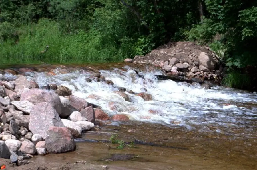
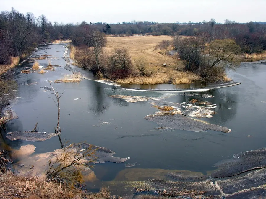
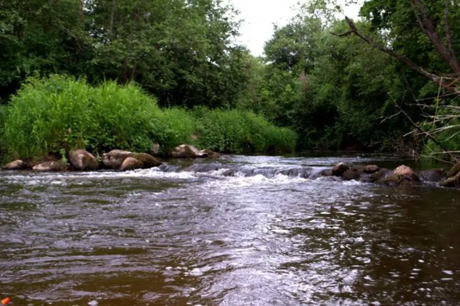
Pagrindinės upės kliūtys: sraunumos, akmenuotos rėvos, staigūs vingiai su stipria srove, užvartos, išgriautų užtvankų slenksčiai, veikiančių jėgainių užtvankos, pro kurias plaukimo priemones reikia nešti. Maršrutą siūlome tik pradinį patyrimą turintiems vandens turizmo mėgėjams.
Map:
River profile
The computed slope uses EU-DEM digital elevation model data (25 m resolution). Because the model measures average surface height in each 25×25 m cell, it cannot precisely capture the depth of narrow river valleys — elevation differences and slope are therefore often smaller than in reality.