Kayaking on Voke
Specifications
- Length
This shows the official river length. Our calculated river length often differs from the official one. We calculate river length based on the drawn river curve on the map. Discrepancies exist due to different river start locations or different river curves through lakes and dams.
- 36 km
- Difficulty
- 3/5
- Basin size
- 573 km2
- Discharge
- 4.9 m3/s
- Slope
- 129 cm/km
On the platform
- Routes
- 2
- Rentals
- 1
- Landmarks
- 12
- Gauging stations
- 0
About kayaking on Voke:
Nors Vokė yra neilga upė, bet gan populiari tarp sportinio vandens turizmo mėgėjų. Ji kanalu sujungta su Merkio aukštupiu. Kanalo vaga gana gili, tad lengvais laiveliais iš Merkio aukštupio ja galima išplaukti į Nerį.
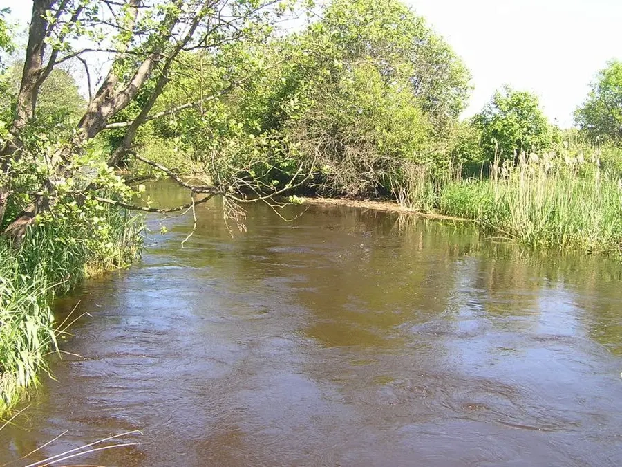
Vokė išteka iš Papio ežero, plytinčio plačiame durpingame slėnyje. Jį su Merkiu jungia minėtas kanalas, prasidedantis ties Baltosios Vokės gyvenviete. Vokė į Nerį įteka ties Grigiškėmis.
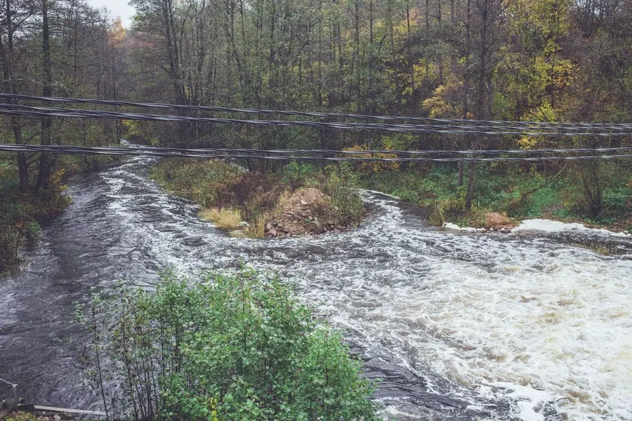
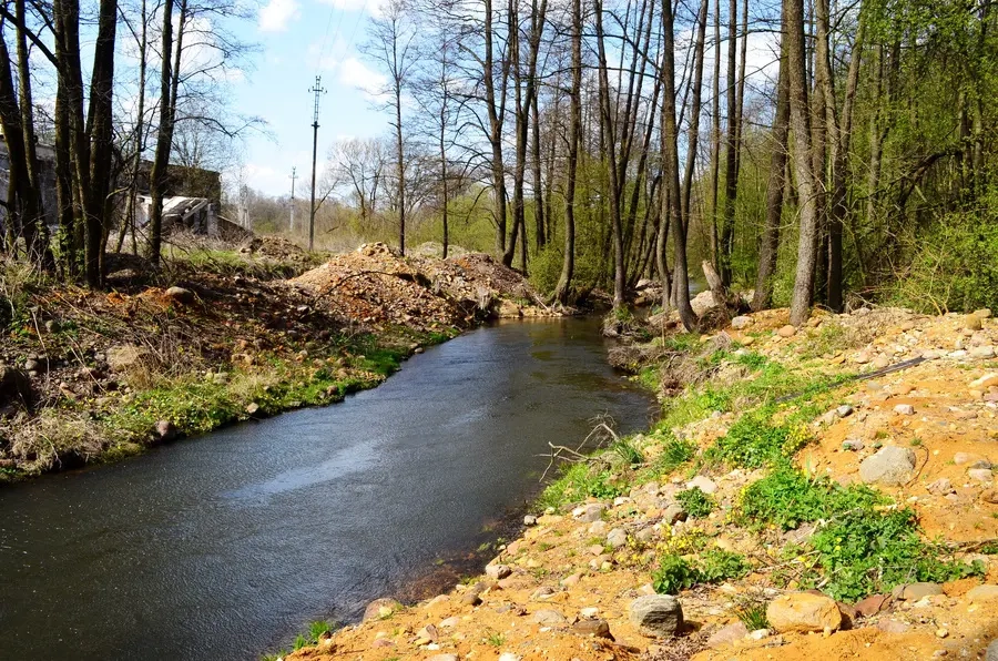
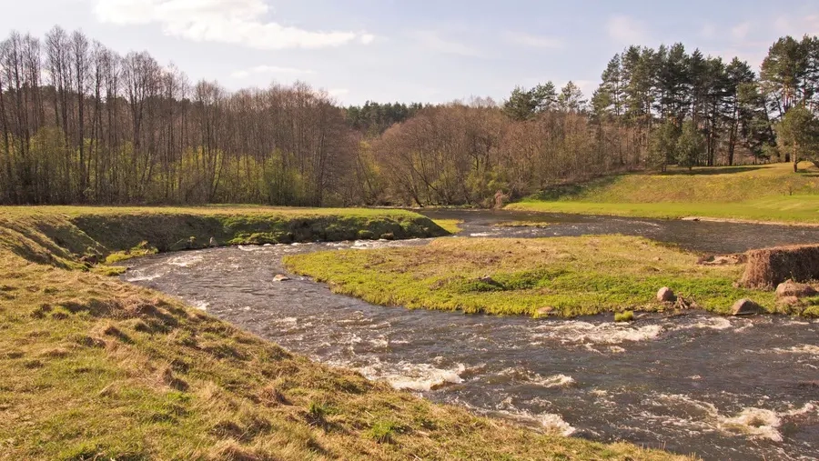
Vokės nuolydis aukštupyje iki Vaidotų kaimo yra nedidelis — 0,3 m/km. Toliau iki žiočių nuolydis smarkiai išauga — per 2 m/km, vagoje yra akmenuotų stiprių sraunumų, nugriuvusių lieptų, trijų jėgainių užtvankos. Sudėtingiausias galutinis 2 km ilgio upės ruožas Grigiškėse žemiau užtvankos. Iki 2019 metų kiekvieną pavasarį čia vykdavo įvairaus lygio vandens turizmo technikos varžybos.
Maršrutas siūlomas pradinį patyrimą turintiems vandens turistams.
Map:
River profile
The computed slope uses EU-DEM digital elevation model data (25 m resolution). Because the model measures average surface height in each 25×25 m cell, it cannot precisely capture the depth of narrow river valleys — elevation differences and slope are therefore often smaller than in reality.