Kayaking on Žeimena
Specifications
- Length
This shows the official river length. Our calculated river length often differs from the official one. We calculate river length based on the drawn river curve on the map. Discrepancies exist due to different river start locations or different river curves through lakes and dams.
- 80 km
- Difficulty
- 2/5
- Basin size
- 2793 km2
- Discharge
- 22.2 m3/s
- Slope
- 41 cm/km
On the platform
- Routes
- 2
- Rentals
- 2
- Landmarks
- 10
- Gauging stations
- 1
About kayaking on Žeimena:
Tai viena švariausių upių Lietuvoje, joje nėra užtvankų, todėl ji priskirta prie pagrindinių Lietuvos lašišinių žuvų nerštaviečių. Žeimenos aukštupys yra Aukštaitijos nacionalinio parko teritorijoje, o vidurupyje įsteigtas Žeimenos kraštovaizdžio draustinis.
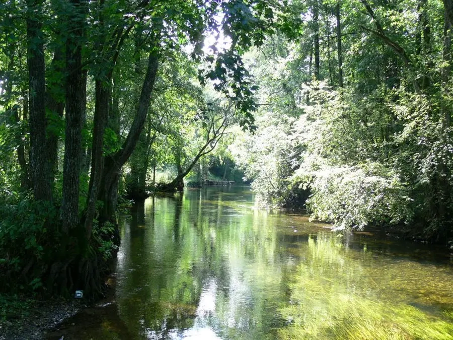
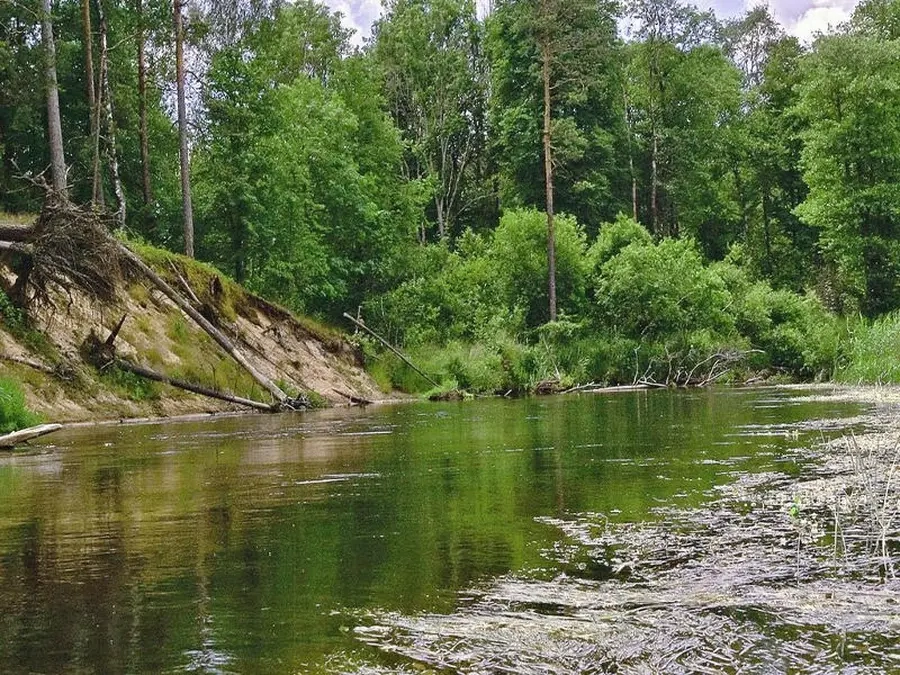
Žeimena gan populiari tarp vandens turistų. Jos vanduo švarus, tėkmė lėta, be kliūčių, pakrantės miškingos. Ilgas Žeimenų ežeras, iš kurio išteka Žeimena, pertakais sujungtas su ežerais, kurių dauguma yra Aukštaitijos nacionalinio parko teritorijoje (Lūšio, Dringio, Baluošo, Tauragnų ir kt.). Dėl ežeringo aukštupio Žeimenos nuotėkis per metus mažai keičiasi. Keliauti šia upe galima visomis plaukimo priemonėmis. Pradėti kelionę galima įvairiose vietose. Dažniausiai turistai pradeda žygį Palūšėje, Lūšio ežero pakrantėje.
Prie upės privažiuoti patogu Vilniaus–Ignalinos geležinkeliu, kuriuo galima atvykti į kiekvieną maršruto tašką arba iš jo išvykti. Žeimena įteka į Nerį 16 km aukščiau Nemenčinės. Jei toliau keliausite Nerimi, nuplauksite ir iki Kauno.
Map:
River profile
The computed slope uses EU-DEM digital elevation model data (25 m resolution). Because the model measures average surface height in each 25×25 m cell, it cannot precisely capture the depth of narrow river valleys — elevation differences and slope are therefore often smaller than in reality.
Water level
Water level history (30 days)
Source: LHMT · Water level is measured from the station's zero mark — negative values are normal. · VMS = Water management system