
The 5 Most Extreme Kayaking Routes in Lithuania
It is a widespread myth that we don’t have any white-water rivers in Lithuania. In this article, you’ll see that it really is possible to get your adrenaline fix in the spring.
Do you like a bit of a thrill? Then this article is just for you.
Spring is the time of year when nature undergoes its most dramatic changes. For those living near rivers, the biggest change is the spring flood. If the temperature rises suddenly, this can cause river levels to rise dramatically. Often in spring, the consequences of flooding can even be catastrophic – people’s homes or even entire villages are flooded.
Adrenaline-seeking water sports enthusiasts enjoy Lithuania’s extreme rivers in spring. Rising water levels strengthen the river’s current, uproot weaker trees and create various other obstacles. Small streams turn into roaring mountain rivers, rushing to carry excess snowmelt into the larger rivers. In this article, I’ll be looking at five rivers which, in my opinion, every self-respecting kayaker should try.
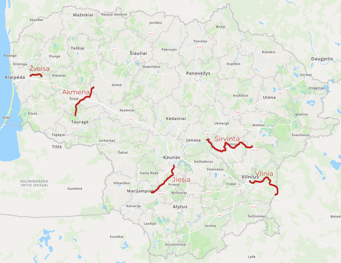
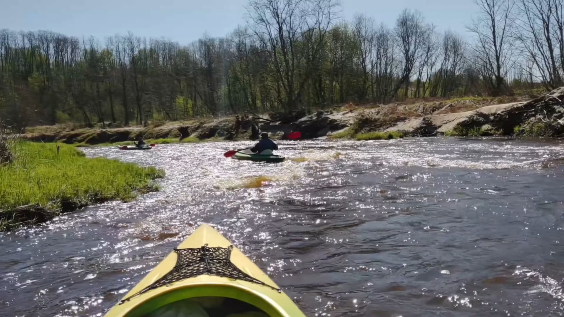
Širvinta
A tributary of the Šventoji, known to travellers for what is arguably its most beautiful lower reaches. The name of this river is steeped in legend. One legend tells that in ancient times, elk – then known as ‘širviai’ – cleared a path through the dense forest to reach the river. Thus, the name Širvinta is closely linked to elk – perhaps you’ll spot one yourself?
Along this 128 km stretch of river, different routes vary greatly in terms of the number of obstacles and the speed of the current. Up to the village of Liukonys, the river flows more slowly, but there are quite a few bends. The main obstacles on this stretch are fallen trees and branches.
From Liukonys, you can set off on an unforgettable spring adventure. There are more boulders protruding from the riverbed, and rapids and small weirs are more common. When the water level rises, this stretch is the most dangerous, but also the most exciting.
The Širvinta has a gradient of 1 m/km, which isn’t particularly steep compared to the other rivers on this list, but it still provides a decent current. The river’s width varies between 6 and 16 metres.
The banks are not densely populated, so you’ll easily find a place to camp. As you paddle down the river, you’ll be able to see a hillfort, a manor house, a giant oak tree and mythological stones. If you wish to visit a particular site, you can adjust your route accordingly.
Recommended routes:
LIUKONYS – UPNINKAI (26 km, 6–8 hours)
ŽEMOSIOS VIESOS – UPININKAI (74 km, 2 days)
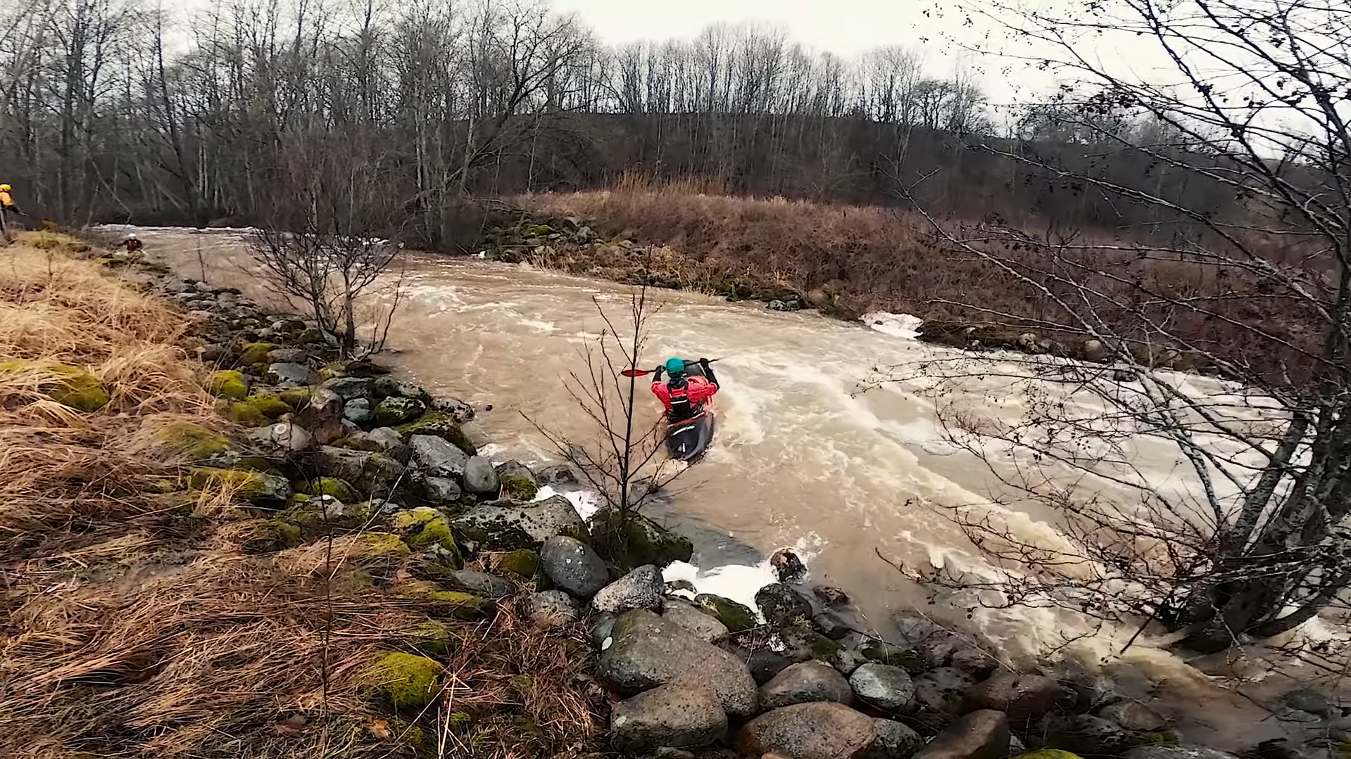
Žvelsa
A tributary of the Minija, considered by Lithuanian kayaking enthusiasts to be the most extreme river in Lithuania. The name ‘Žvelsa’ is associated with the words ‘žvilti’ (‘to glisten’) and ‘žvalus’ (‘lively, agile’). In spring, this river is not only lively but also full of rapids and large weirs. Its very strong current makes it comparable to the very best mountain rivers.
The river is 38 km long, but the kayaking route covers 14 km. Frequent bends and a gradient of as much as 2.68 m/km will remind you of what we call an adrenaline rush.
We strongly recommend that only travellers with extensive kayaking experience attempt this route. The route almost guarantees plenty of cold water, numerous capsizes and other hazards. Only experienced travellers can cope with these challenges. When preparing for a trip in spring, we recommend reading our article ‘Kayaking in Spring’, which will help you pack the right equipment and ensure you have suitable clothing.
Before attempting the truly extreme Žvelsa trip, we’d advise trying out the other rivers listed here first. Once you’ve gained enough experience, you can tackle Lithuania’s most challenging route. You can find out more about the Žvelsa in our article ‘Lithuania’s Most Extreme River’.
Vilnelė/Vilnia
The Vilnia is a left-bank tributary of the Neris, from which the city of Vilnius takes its name. The people of Vilnius call this river the Vilnelė, though this name is a modern coinage. The Vilnia flows vigorously for as much as 21 km through the territory of Vilnius. The name of the river itself is associated with the words vilnis (‘a ripple or wave’) and vilnyti (‘to rise in waves, to surge, to flow in surges’).
The river is 80 km long, 11 km of which runs along the Lithuanian-Belarusian border. The most extreme stretch of the river is from the Rokantiškiai reservoir. In this section, the river’s gradient reaches as much as 4.05 m/km. When the water level rises, the people of Vilnius can enjoy a local mountain river. The average gradient of the river is 1.53 m/km.
The views along the river are quite exceptional. A 10-kilometre route from the Rokantiškiai Reservoir will allow you to see the Pučkoriai outcrop, a variety of bridges, villages and life along the riverbank. Many poets, inspired by the murmur of the Vilnelė, have written poetry. Perhaps you’re lacking inspiration too?
Recommended routes:
ROKANTIŠKIAI RESERVOIR – NERIS (12 km, 3–4 hours)
KENA – NERIS (4 km, 2 days. The route can be started on the Kena River, but the stretch of the Vilnia River up to Naujoji Vilnia is slower-flowing than the section from the Rokantiškiai Reservoir.)
Akmena
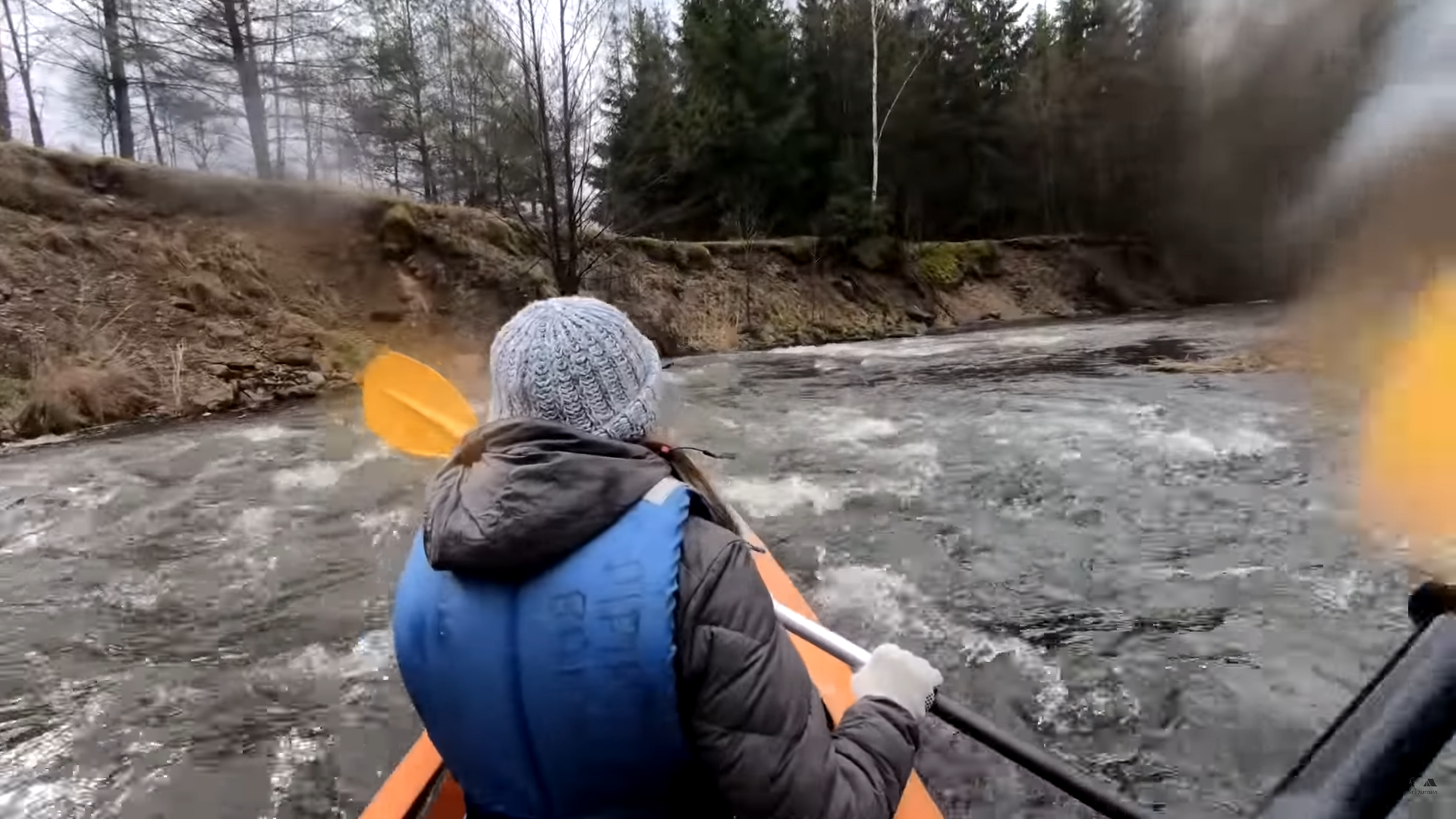
A left-bank tributary of the Neris, whose name suggests that there are plenty of stones in the river. In summer, this river is difficult to navigate, but in spring it reveals its full beauty. The river’s channel is quite wide in spring, but there is no shortage of obstacles: plenty of rapids, weirs and boulders.
The river is 71 km long, which is enough to organise a three-day trip. The average gradient of the river is 1.86 m/km, which places it second on the list after the Žvelsa in terms of gradient. The Akmena has been little touched by civilisation and offers many natural sights.
Along the banks of the Akmena, you will find many natural and historical landmarks. Hill forts: Pagrybis, Vedriai, Kazokai, Indija, Pagramantis. You can also visit a geological natural heritage site – the Pagramančio outcrop. There is no shortage of historical monuments either: the grave of Dionizas Poška, a wooden monument to Vytautas the Great, and old churches.
Recommended routes:
You can start the route from Kaltanėnai. If you’re kayaking for 1 or 2 days, you can also start further downstream. Kayak hire companies will best advise on the route based on current river conditions.
Jiesia
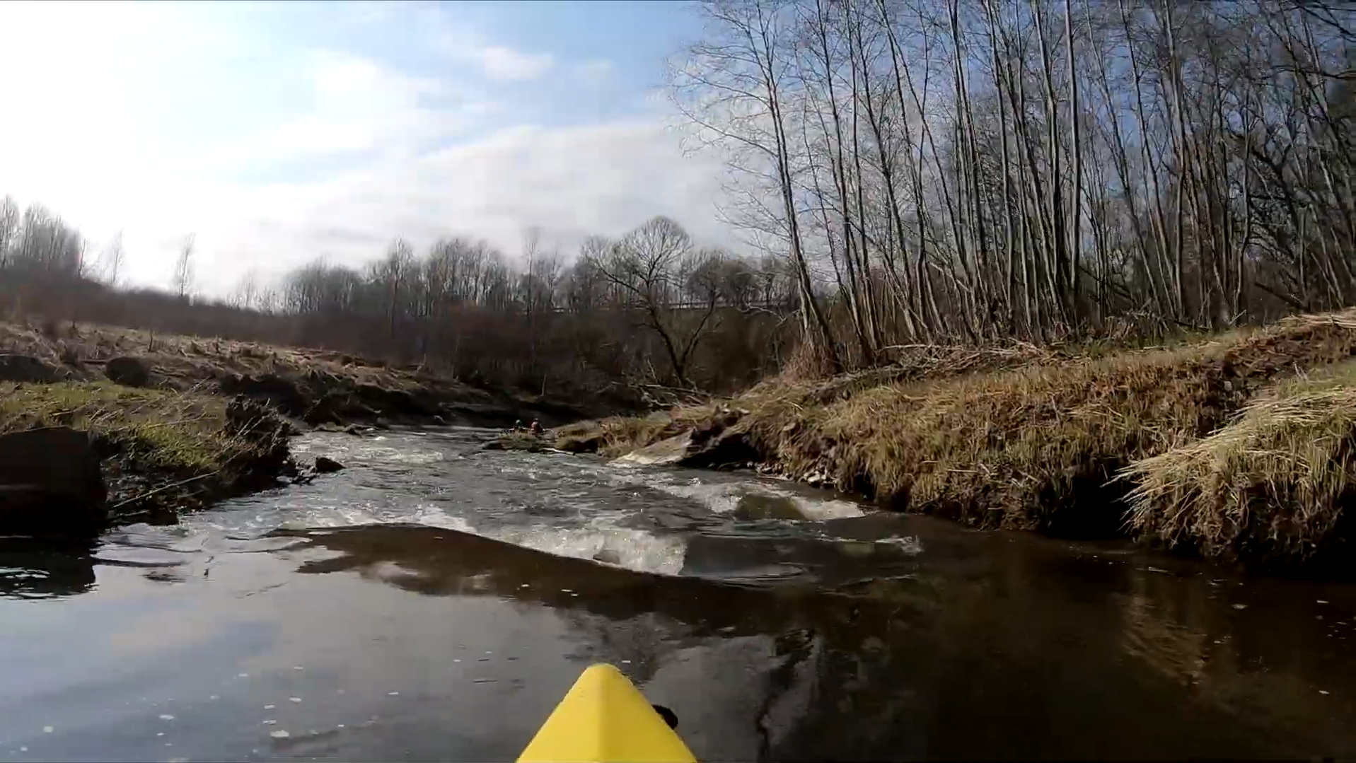
A tributary of the Nemunas, the most easily accessible spring river for Kaunas residents. The water level of the Jiesia depends heavily on rainfall. In spring, after the major spring flood, the current can be very strong and attract water sports enthusiasts. In summer, following heavy downpours, holidaymakers also paddle down the river, though the current is weaker.
The river is 68 km long. The average gradient is 1.15 m/km, though the river’s difficulty level depends on the water level. There are quite a few rapids on the river, as well as weirs and dams, and there are some thresholds. It is very convenient for residents of Kaunas to paddle all the way to the Nemunas, where they find themselves back in their own city. For other travellers, paddling to the Nemunas is also the best option, as the Jiesia flows more slowly upstream of the Pajiesio Reservoir.
The Jiesia reveals the outcrops it has carved out over time. This lowland river is rich in geological features, as very ancient rock strata can be seen there. The riverbanks are also home to Kaunas residents’ allotment gardens, and there are footpaths near Kaunas.
Recommended routes:
GARLIAVA RAILWAY STATION – THE NEMUNAS (10 km, 4–5 hours)
Conclusions
Many other streams can be even more extreme in spring, but here I have listed the larger rivers that you can paddle on in spring and after the spring floods. In the table below, I have provided the lengths and average gradients of the rivers. You can choose the river that suits you best, but do make sure you take the necessary safety precautions. Paddling on extreme rivers in spring can be a truly memorable adventure, but if the situation takes a turn for the worse, you could suffer serious injuries.
If you’ve decided to go kayaking, you’ll find our downloadable packing list useful; you can find it here. I’ll save an article for another time about smaller rivers that are also worth a visit for water sports enthusiasts in spring. Thank you for reading!
Sources:
https://turistauk.lt/marsrutas/baidariu-nuoma-lokysta/
https://www.vilniaus-baidares.lt/baidariu-marsrutai/plaukimas-baidaremis-vilneles-upe/
https://www.drakar.lt/vikingai/vik.php?f=lietuvos_marsrutai/vidurio_lietuva/jiesia