Kayaking on Kražante
Specifications
- Length
This shows the official river length. Our calculated river length often differs from the official one. We calculate river length based on the drawn river curve on the map. Discrepancies exist due to different river start locations or different river curves through lakes and dams.
- 96 km
- Difficulty
- 2/5
- Basin size
- 386 km2
- Discharge
- 4.2 m3/s
- Slope
- 114 cm/km
On the platform
- Routes
- 0
- Rentals
- 0
- Landmarks
- 9
- Gauging stations
- 1
About kayaking on Kražante:
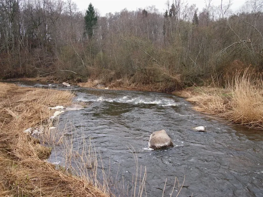
Tai didžiausias Dubysos intakas. Nuotėkio svyravimai per metus dideli. Sausmečiais upė smarkiai nusenka. Kliūtys: seklumos, rėvos, išgriautų užtvankų slenksčiai, užvartos. Žemiau Kelmės (15 km) nuolydis padidėja, vagoje yra akmenuotų rėvų.
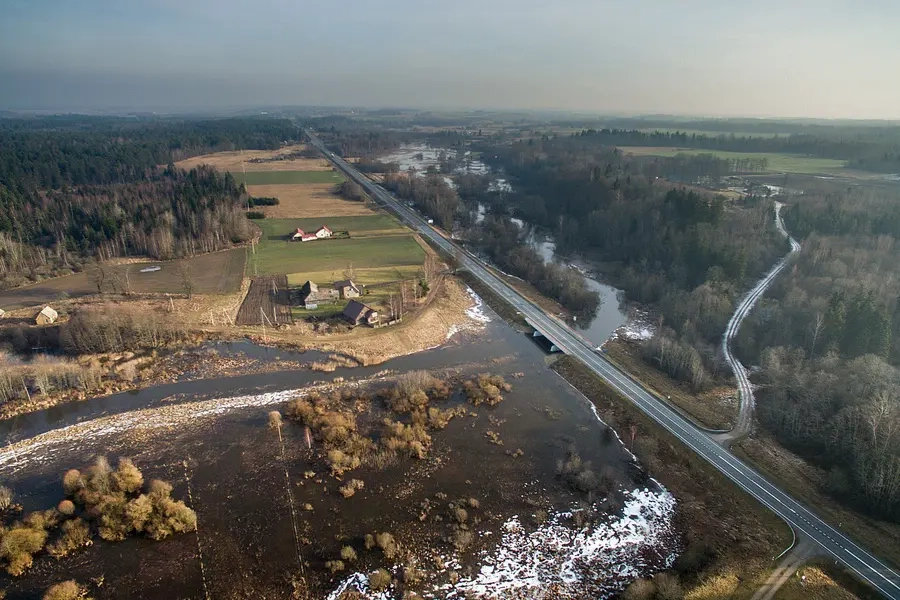
Prasideda Žemaičių aukštumoje, Girgždūtės kraštovaizdžio draustinyje, prie Pagirgždūčio ir Vašilėnų, 9 km į pietryčius nuo Varnių, netoli Girgždūtės kalvos. Nuo versmių iki Kuprės teka vaizdingomis apylinkėmis į pietryčius, žemiau, iki pat žiočių – į šiaurės rytus. Žemupyje įsteigtas Kražantės hidrografinis draustinis. Jo teritorijoje – gražus „laukinis“ slėnis, gausu rėvų, didelių akmenų. Teka pro Burbaičių piliakalnį. Ties Kelme upėje įrengtas 5 ha tvenkinys. Pluskiuose (47 km nuo žiočių) nuo 1971 m. veikia hidrometrinė stotis.
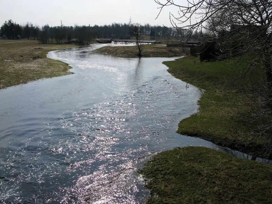
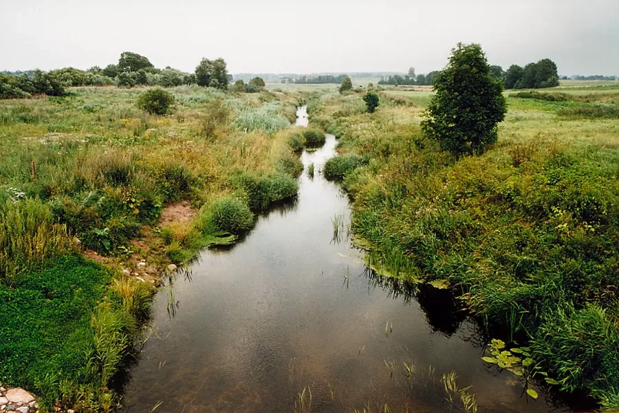
Kai vandens lygis pakyla, kelionę galite pradėti nuo Kražių. Kai kurie upės ruožai kanalizuoti, slėnyje miškų nedaug.
Map:
River profile
The computed slope uses EU-DEM digital elevation model data (25 m resolution). Because the model measures average surface height in each 25×25 m cell, it cannot precisely capture the depth of narrow river valleys — elevation differences and slope are therefore often smaller than in reality.
Water level
Water level history (30 days)
Source: LHMT · Water level is measured from the station's zero mark — negative values are normal. · VMS = Water management system