Kayaking on Venta
Specifications
- Length
This shows the official river length. Our calculated river length often differs from the official one. We calculate river length based on the drawn river curve on the map. Discrepancies exist due to different river start locations or different river curves through lakes and dams.
- 350 km
- Difficulty
- 2/5
- Basin size
- 11800 km2
- Discharge
- 95 m3/s
- Slope
- 85 cm/km
On the platform
- Routes
- 0
- Rentals
- 0
- Landmarks
- 30
- Gauging stations
- 2
About kayaking on Venta:
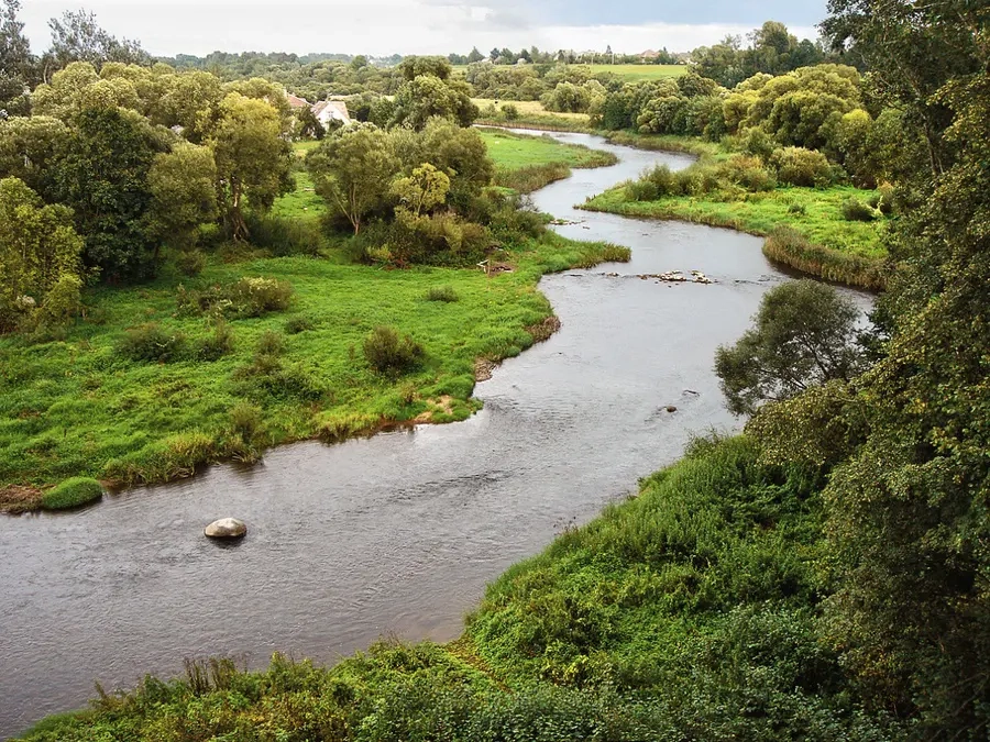
Venta savo vandenis plukdo nuo Žemaitijos aukštumų per Latviją ir įteka į Baltijos jūrą ties Ventspiliu. Tai viena iš didžiausių Žemaitijos upių. Jos aukštupyje mažai ežerų. Panašiai kaip ir Minijos, jos nuotėkis per metus smarkiai svyruoja.
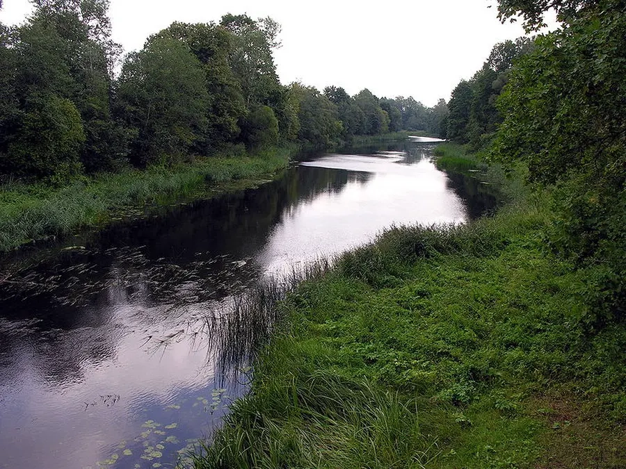
Aukštupyje kelionę galima pradėti nuo Užvenčio–Pašilėnų–Kuršėnų kelio tilto per Ventą. Iš pradžių upė siaura, sekli, tėkmė greita. Tačiau, įsiliejus keletui intakų (Knituoja, Ušna, Varmė, Šatrija), Ventos nuotėkis padidėja kelis kartus, srovė sulėtėja, ir kelionė darosi monotoniška.
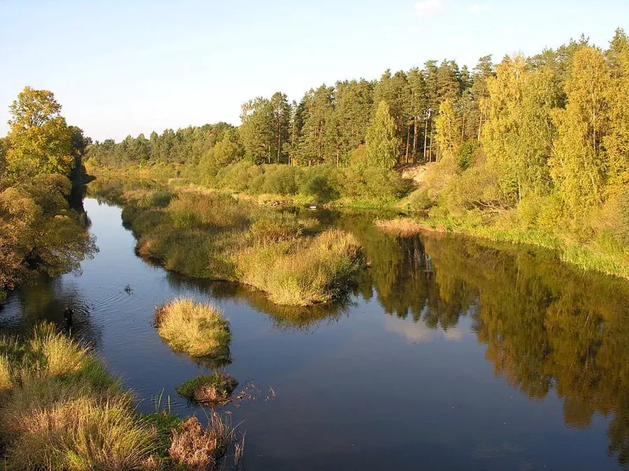
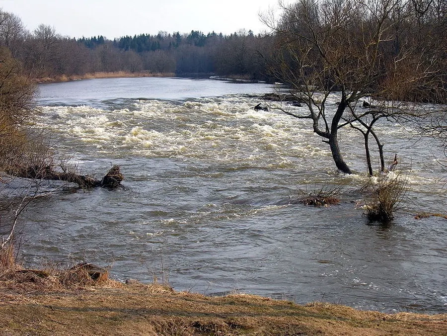
Ventos tėkmė lėta. Tik jos atkarpos tarp Ringuvos ir Suldupio intakų (apie 30 km) nuolydis didesnis, pasitaiko akmenuotų rėvų, slenksčių. Kituose ruožuose kliūčių nėra (išskyrus išgriautas ar dar tebesančias jėgainių užtvankas).
Dažnai turistai kelionę Venta pradeda nuo Kuršėnų miestelio.
Map:
River profile
The computed slope uses EU-DEM digital elevation model data (25 m resolution). Because the model measures average surface height in each 25×25 m cell, it cannot precisely capture the depth of narrow river valleys — elevation differences and slope are therefore often smaller than in reality.
Water level
Water level history (30 days)
Source: LHMT · Water level is measured from the station's zero mark — negative values are normal. · VMS = Water management system